Ridgway State Park, Ridgway Reservoir, and a Surprise Drive Over Owl Creek Pass
We have driven from Grand Junction to Ridgway multiple times and have always admired Ridgway State Park and the Ridgway Reservoir from the road. We decided to make a point to go to the park for the day, visit the town of Ridgway, then drive back. Ridgway State Park is about 1.5 hours south of Grand Junction, 86 miles. It’s at the base of the San Juan Mountains.
Our day didn’t exactly go as planned but our surprise drive over Owl Creek Pass made the day trip even more memorable! I will explain the mistake we made in changing our plans, so keep reading!
Get notifications about new posts and watch my short videos on my Facebook page called Live Your Vacation in Grand Junction.
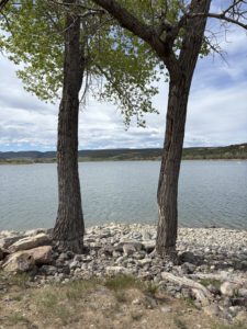
Ridgway Reservoir
The 1,000-acre reservoir is so beautiful, a real haven for recreational activities year-round. Cars can drive right down the beach to the water’s edge and park for the day. There is a quiet bay area for swimming, and, of course, a dam that makes it all possible. All kinds of boats on the water, including sailboats and paddle boards. There are over 15 miles of hiking trails and three campground areas. We mainly visited the Dutch Charlie section with the Marina, Elk Ridge Campground and Dakota Terraces Campground. Then the Dallas Creek section.
Michelle scoped out a few hiking options for us before we left. Our first stop is always at the Visitor Center to pick up a paper map. Yes, maps on phones are nice but there’s still something special about looking at a map to determine your plans. Our plan was to hike the Forest Discovery Nature Trail, a short .6 mile loop, and the .1 mile Scenic Overlook Trail, then drive down to the beach and water itself.
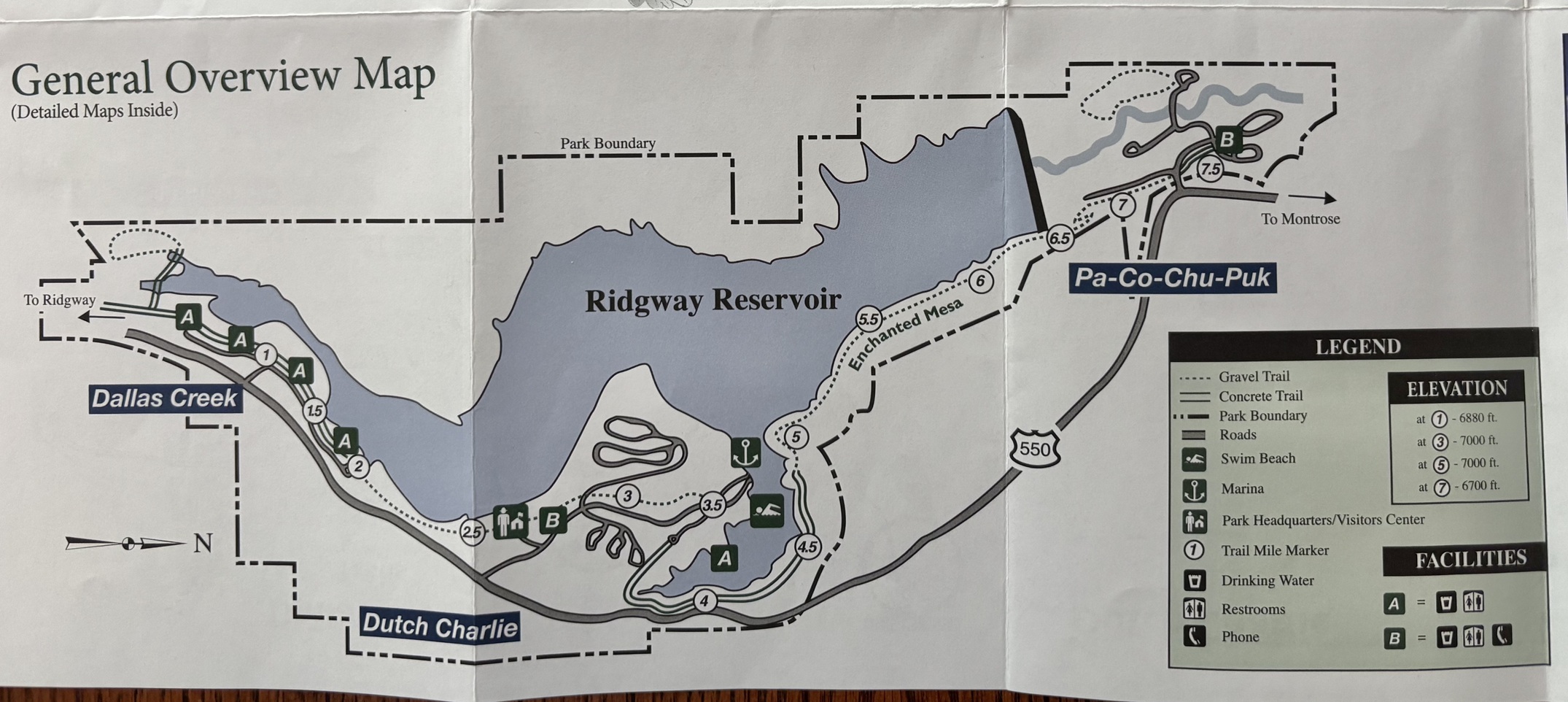
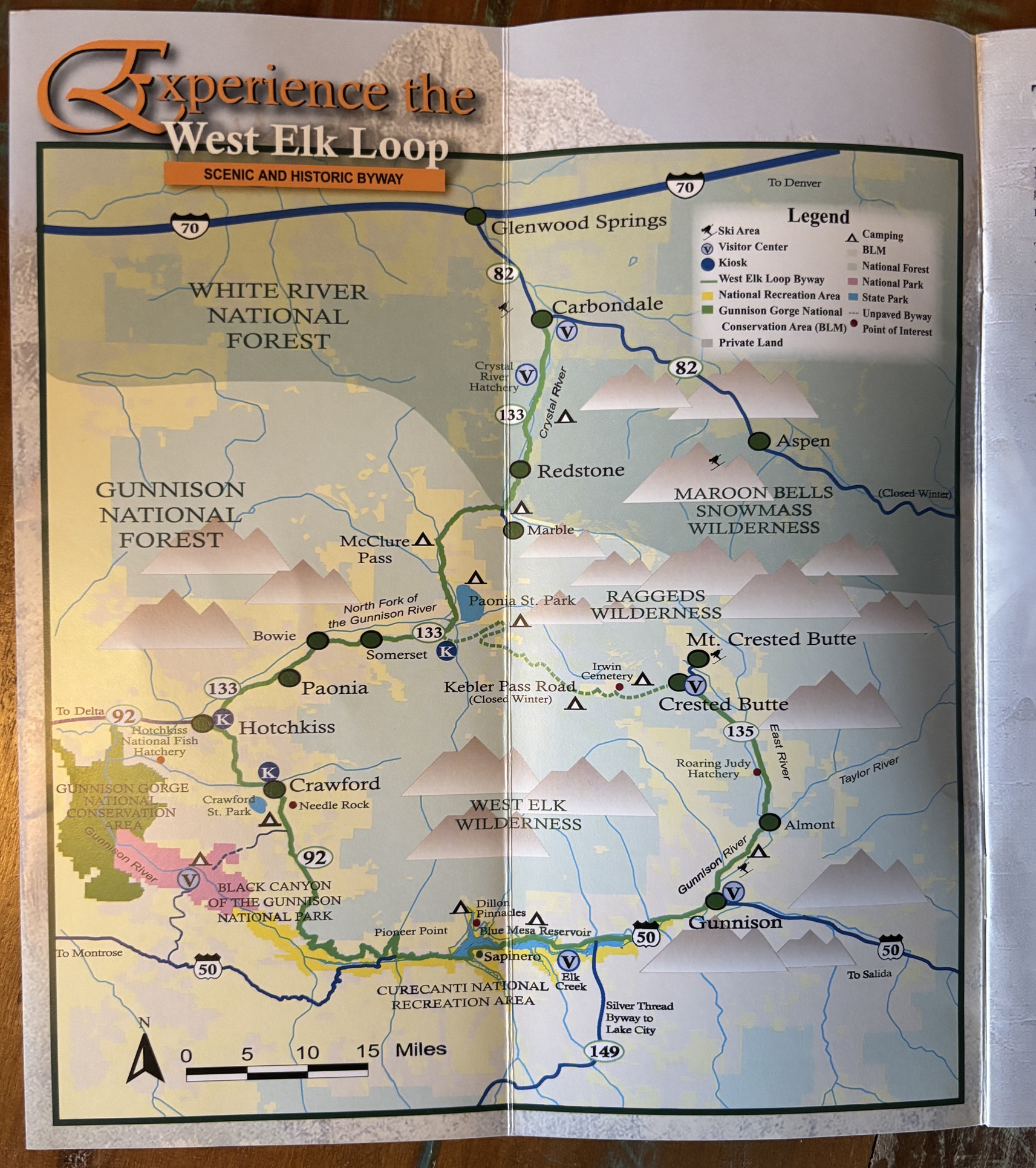
Ridgway State Park Map, click to enlarge
Hiking to the Scenic Overlook
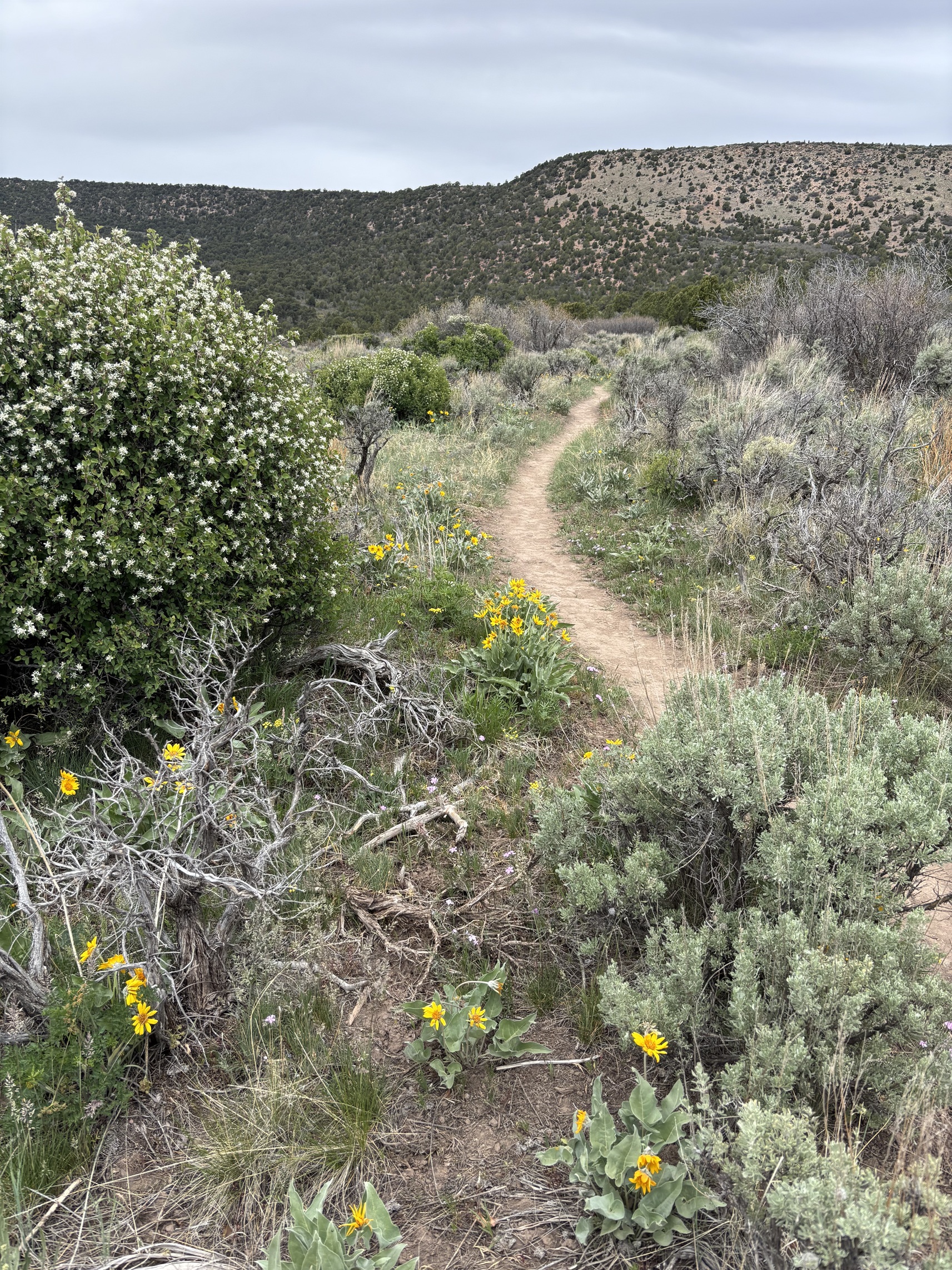
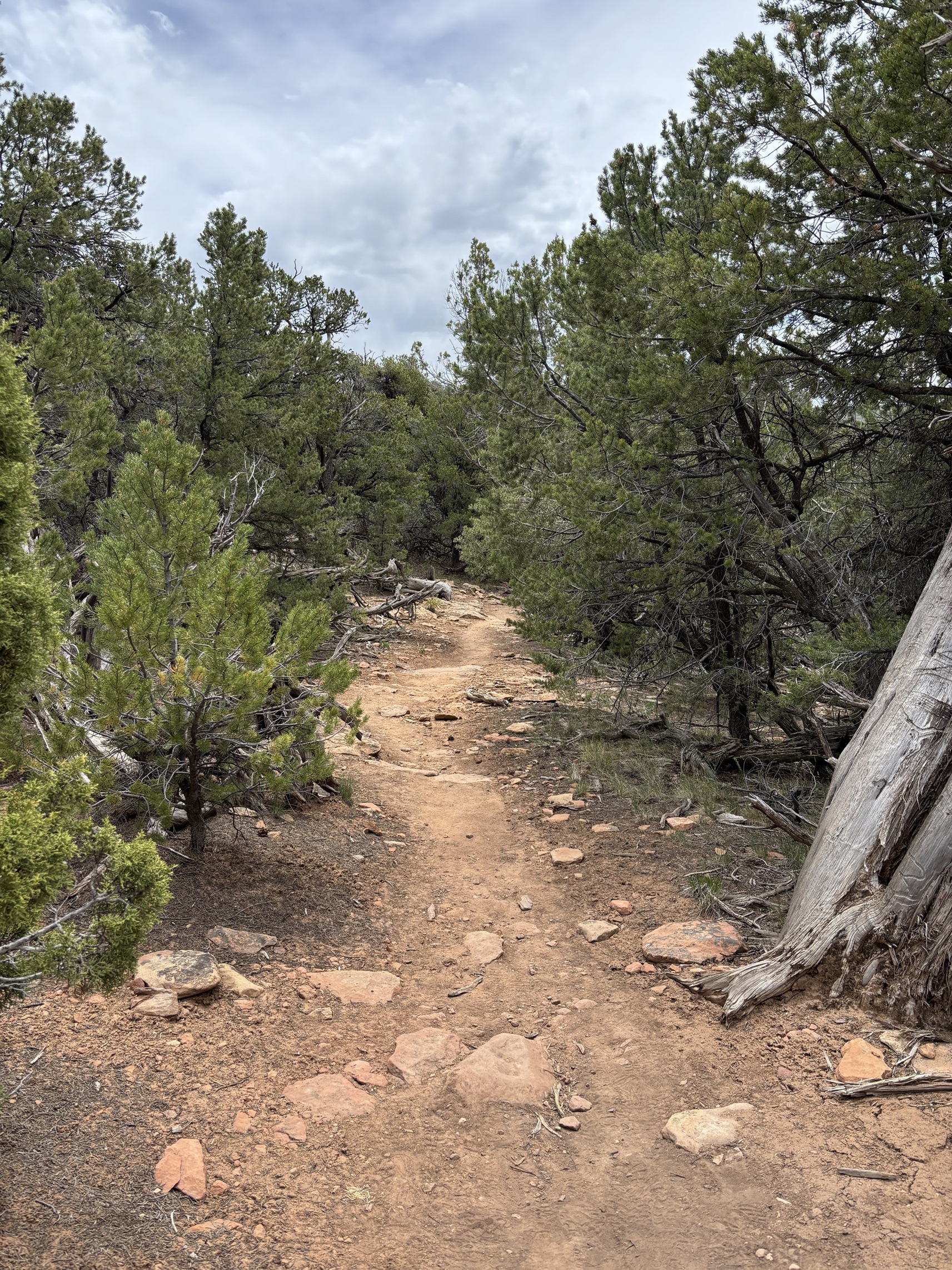
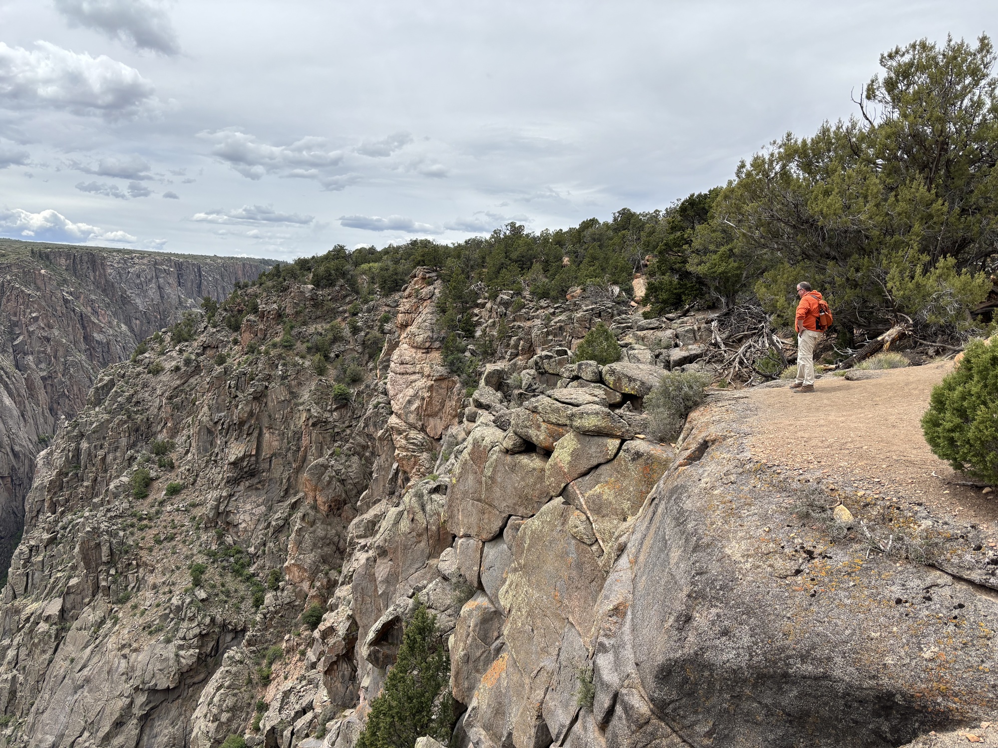
We chose to start with the Scenic Overlook Trail. We were very excited to see the view from the top. A fairly short trail led us right there, photos below. It was beautiful. The pinyon/juniper forest smelled so good! Hiking in the mountains is different than hiking in the desert.
Instead of going back to the Visitor Center and doing the Forest Discovery Trail, I saw a sign for another route called the Wapiti Trail that led to the Skyline Loop, which sounded fun. Michelle admitted she didn’t have the Wapiti Trail “saved” in her All Trails app as a route for us to take but we did it anyway. The first “change of plans” for the day turned out to be a strenuous one! The Wapiti Trail is only .6 miles but has an elevation change of 150 feet. That’s like climbing 15 flights of stairs, at 7,000’ elevation! We took it slow, rested and cursed a few times until we reached the top. We quickly understood why Michelle hadn’t bookmarked that one, so steep! Luckily, we had plenty of water and some electrolyte chews to keep us going.
We eventually did part of the Skyline Loop and headed back to the truck. We took much more time hiking than we planned, and we really wanted to get into the water. But first, we had to check out the Marina before we went to the Dallas Creek section with the big beach for cars.
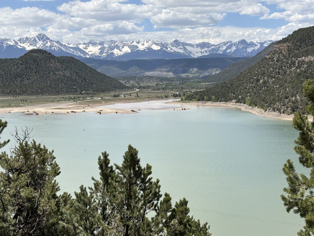
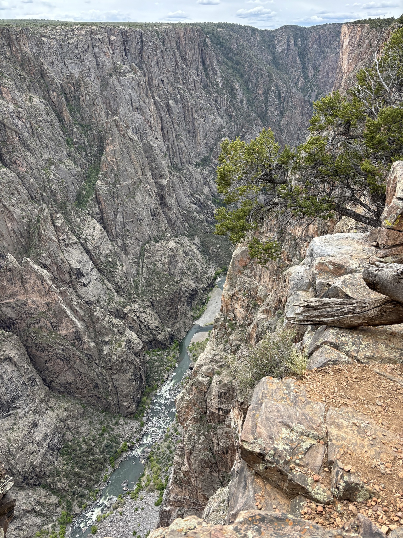
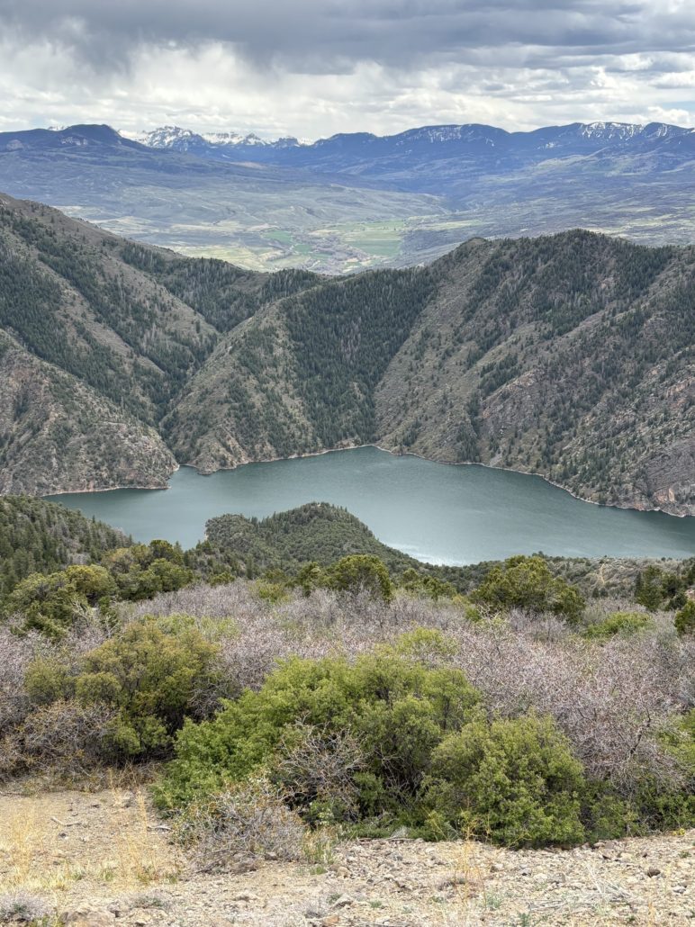
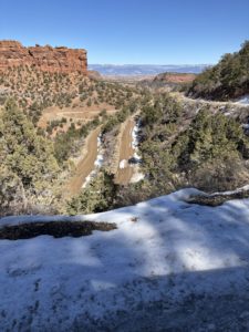
Ridgway State Park View from the Overlook including the San Juan Mountains
Ridgway State Park Marina
There is a very large swimming beach and picnic area next to the Marina. We were there on a Saturday in early June and it wasn’t very busy at all. I bet it’s more popular during the height of summer. There are bathroom facilities. We stopped at the Marina to get information about boat rentals. There are pontoons available for half or full day rentals and the price seemed reasonable. After all, it’s much easier to rent a boat for a day than to own one! You can also rent stand-up paddle boards as well.
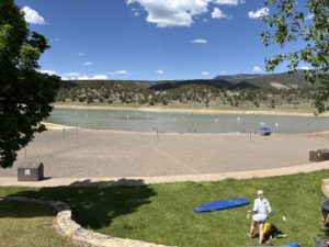
Ridgway State Park Swimming Beach near Marina
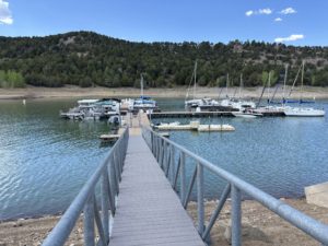
Ridgway Marina Ridgway State Park
Dallas Creek
The Dallas Creek entrance to Ridgway State Park provides the ability to drive onto the beach and park right next to the water. You can see the cars on the beach from the road. We found a spot and parked. We got in the water up to our ankles. It was somewhat chilly but not as bad as we expected for a body of water at 7,000’ elevation made from snowmelt from the surrounding mountains. Others were gleefully swimming and lots of people on SUPs (stand up paddle boards).
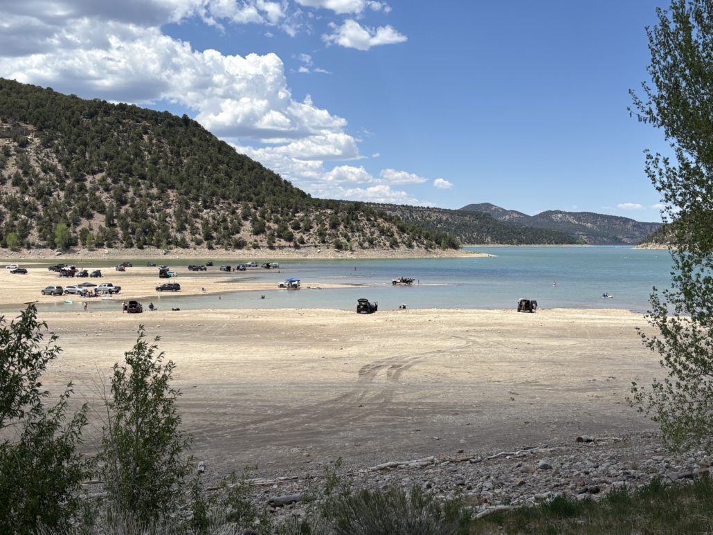
Ridgway Reservoir cars on the beach
We got a good feel for Ridgway State Park and now it was time to go into the town of Ridgway. As we approached the main stop light where you turn right to go into Ridgway, I said, “How can we be this close and not go to Ouray?” Ridgway was the focus of the day, but we “changed plans” and headed to Ouray. We always love driving through Ouray and taking a portion of the Million Dollar Highway to reach the Bear Creek Waterfall Overlook.
Taking the Scenic Route
Ouray was great, as expected. The waterfall was really flowing, and Michelle was able to capture a rainbow that appeared in the mist for a brief moment.
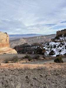
On Hwy. 550, just after the state park, and before the turn to the town of Ridgway, we saw a brown sign for Owl Creek Pass. Most of the reports Michelle read online from the area said that many of the upper mountain passes have been cleared of snow. She verified and this one was open. She did some quick investigation and learned cars can handle the road, you don’t need to have a high clearance 4×4. We were in our Toyota Tacoma, so we decided to make another “change of plans” and take the scenic road home. We make a lot of spontaneous decisions. And this is one we will remember for a long time.
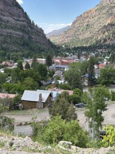
View of Ouray, CO
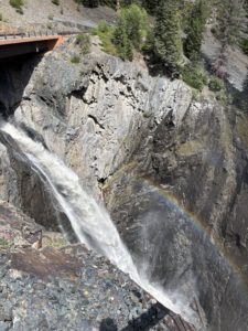
Bear Creek Waterfall Overlook in Ouray
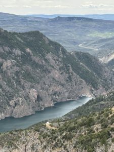
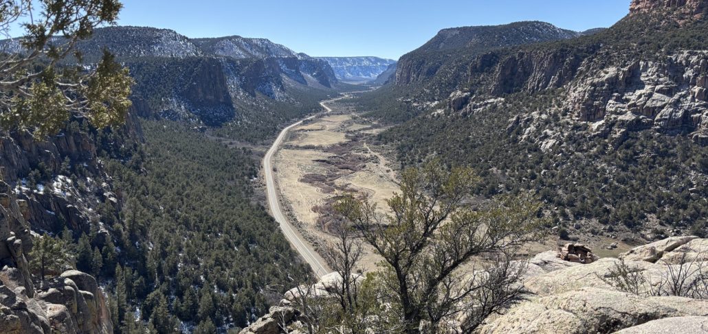
Owl Creek Pass
After Ouray, we took Owl Creek Pass east from Ridgway as a scenic way to get back to Grand Junction. THAT was amazing! It was an incredible drive. Just to give you an idea of driving a mountain pass vs the main roads, it only added 39 miles to our trip but took us an extra 2 hours because you drive so slow on high mountain pass roads.
The road was in pretty good condition, it was wide, no sharp drop-offs. Just a few piles of snow we had to drive through, but otherwise the road was mainly dry. We could see this one high mountain peak from the start, and it was cool because we kept getting closer and closer to it as we climbed higher and higher. Looking at maps afterwards we think it was Chimney Rock in the Courthouse Mountains. There is a scene in the 1969 movie True Grit with John Wayne that shows this view too. See my post about our day trip on Last Dollar Road to Telluride. It shows the house and ranch featured at the beginning and end of the True Grit movie.
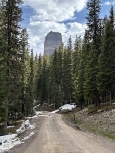
Spot featured in movie True Grit
Why you should plan ahead
On this trip we learned we really should plan ahead. When we were near the top without cell service or a downloaded map we hesitated. There was a fork in the Forest Service Road and we had to guess which way to go. The road was not marked at all. Not good in the middle of the backcountry. Oops! We had maybe 3 cars pass us in the upper section of this road. We thought about turning around after about an hour into the drive because we were afraid we might get lost or be heading in the completely wrong direction.
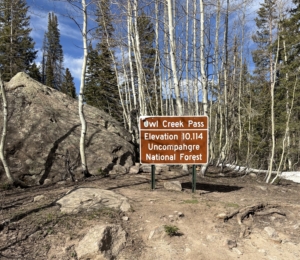
We were supposed to go east, then north to hook up with Hwy 50. When we were heading south and southeast for a while, we doubted we were on the right Forest Road. After discussing it, we continued a bit further because we know that no mountain pass is a direct route. After about 10-20 more minutes we reached the summit of the pass. We laughed and exclaimed “We made it! We did it!”
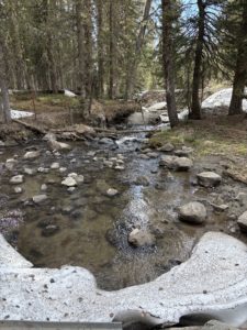
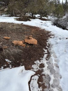
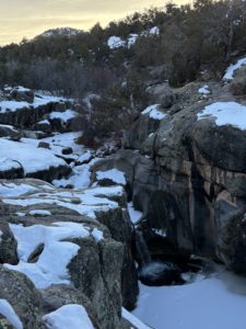
We immediately hopped out of the car to take a picture of the pass sign and the beautiful scenery. There was a one-lane bridge over Owl Creek. We went in June just after the snow had melted, well mostly melted! I stepped in a snowbank along the creek. The water was rushing fast and the sound of the water in the otherwise quiet forest was so peaceful!
We soaked it all in. The air smells so fresh in the mountains, everyone should experience it at some time in their lives. Our mistake was not planning our route in more detail before we left. Next time, we will research a scenic way home ahead of time, should we decide to take it!
Wildlife near Owl Creek Pass
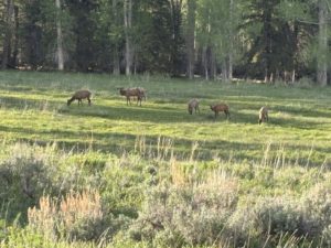
Elk on Owl Creek Pass
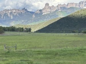
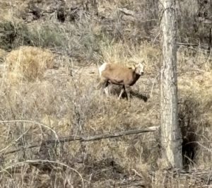
While on the pass we saw about 6-8 mule deer. After the creek, on the east side, we saw a sign saying we would be driving through private land for the next 7 miles. It was spectacular. Lots of cattle and lush green grass. We saw a couple dozen elk grazing in pastures and were able to stop and take pictures. There are always birds singing in the mountains too. We like to roll our windows down on drives like this to take in the sounds and the smells. Seeing the elk was like icing on the cake for this trip.
We loved Ridgway State Park and we will go back and rent a pontoon for an afternoon with family and friends. We will probably never go over Owl Creek Pass again given it’s not really “on the way” to other spots we want to see on our adventures but it sure was a memorable scenic way home! Even though we got home several hours after we expected to. It was a great day trip from Grand Junction.
Live Your Vacation in Grand Junction Every Day When You Move to Grand Junction!
Ridgway Reservoir at Ridgway State Park
If you are considering moving to Grand Junction, please give me a call. I’d love to show you round Grand Junction, Fruita, and Palisade and talk mountain passes with you!
Follow me on Facebook Live Your Vacation in Grand Junction!
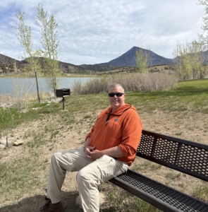
PAUL ASPELIN, your Grand Junction Real Estate Expert
REALTOR®, GRI, SRES®, CNE
Text or Call (612) 306-9558 (locally based)
Connect with me on LinkedIn or send me an email.
Serving Mesa County and the Grand Valley of Colorado.
© 2025 Paul Aspelin, REALTOR®. MovetoGrandJunction.com Copyright protected. All rights reserved.
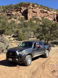
 Thankfully, we have a Colorado State Park Pass. We got our pass when we renewed our license tabs for our Toyota Tacoma. It’s less expensive to get your state park pass with your car tabs.
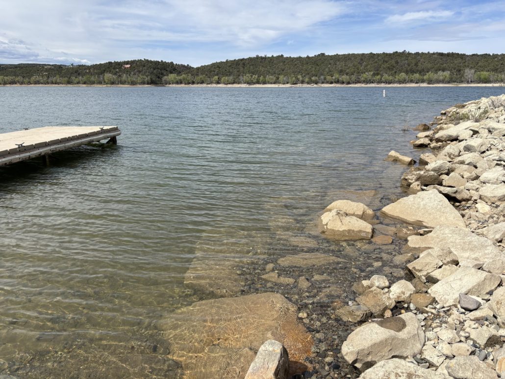
 The park is small, and it gets busy. They don’t offer official timed entry management, so you can’t reserve an entrance time in advance. We arrived on a Saturday at about 9:30am and waited in line behind 2-3 cars to get in. We went right to the Valley of the Goblins parking lot and there were about 5 spots left. The park entrance waiting line started to build by 10am and cars were told to wait. They would be let in after current visitors left. The line was long. We ran into a couple on a hike later. They waited in line for an hour before giving up and choosing a hike outside of the state park and come back later in the day.
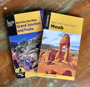 Before we moved here, friends of ours in Minnesota gave us a book called Best Easy Day Hikes in Grand Junction and Fruita by Bill Haggerty, a Falcon Guide®. It has been very useful. If you are new to hiking, I highly recommend it. These easy/short hikes can be done in a morning or afternoon, or pack a picnic lunch and make it an all-day activity.
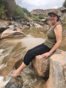

 I can come to pick up books from your location. This ensures that the Little Free Library remains stocked and ready for readers to explore new literary adventures.