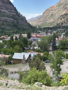
Grand Junction’s Four Seasons Are Just Right
When people picture a move to Colorado, they often imagine Denver, Boulder, or Colorado Springs. These cities get plenty of attention, but they don’t necessarily represent the best of what Colorado living has to offer. If you’re considering a move to Colorado, you owe it to yourself to take a closer look at Grand Junction.
Grand Junction is a vibrant community on the Western Slope where life is comfortable year-round. Unlike the Front Range or other states, Grand Junction doesn’t force you to hunker down for months because of extreme weather. No long, frigid winters. No hot, sticky summers. No suffocating humidity. Just four balanced seasons and a lifestyle that makes you wonder why more people don’t start their Colorado relocation journey here.
Relocate to Colorado Without the Harsh Winters
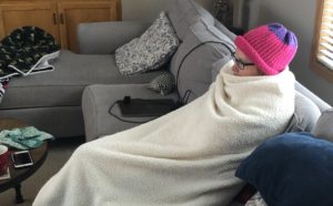
Michelle during a cold, long Minnesota winter
For many people, a move to Colorado is exciting because of the outdoors, but can also be concerning because of the weather. Along the Front Range, winters can drag on from late October through April, with heavy snow and icy conditions making daily life a chore.
Grand Junction is different. Yes, you’ll get a dusting of snow, but it melts quickly. The Grand Valley’s lower elevation (around 4,600 feet compared to Denver’s 5,280 feet) means temperatures are more moderate. That translates to shorter, milder winters, which are perfect for people who want the beauty of snow without the burden of months of shoveling and icy travel.
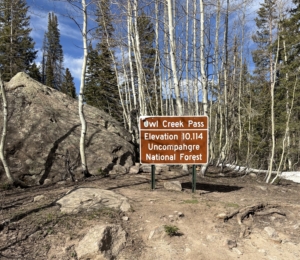
And if you crave deep powder… Powderhorn Mountain Ski Resort is only 45 minutes away. More into snowmobiling, cross-country skiing, or ice fishing for trout? Just head up to the Grand Mesa for a day or weekend of winter fun. When you move to Colorado, you can enjoy the winter lifestyle without living in sub-zero conditions for months on end.
Growing up in the Midwest, I know what it’s like to hunker down from November until May. Subzero temps, blistering wind chills, and endless snow plowing. You just want to curl up by the fire and dream of spring. We got tired of missing out on life because of the weather, and that was a major factor that influenced us to choose Grand Junction.
The cover image for this post, of me sitting on the dock during a snowstorm, was taken in May in Minnesota… during fishing opener weekend!
Spend Your Summers Outside on Colorado’s Western Slope
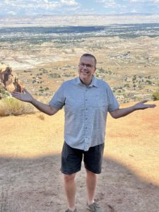
Many people move to Colorado hoping to enjoy the sunshine. But summers on the Front Range, or in states like Texas, Florida, or even Arizona can mean days that are just too hot or humid to enjoy. In Grand Junction, summers are warm but comfortable. Average highs reach the upper 80s in July, but the dry air makes it far easier to enjoy than the muggy heat of the Midwest or the South. Even better, evenings cool off beautifully. You can sit on your patio with a glass of local wine while the sun sets over the Colorado National Monument and enjoy a bug-free evening without sweating through your shirt or escaping indoors to air conditioning.
Sure, Grand Junction does hit 100 degrees now and then, but unlike Arizona’s endless triple-digit stretches. Here the heat is brief thanks to wide temperature swings. Mornings and evenings are almost always pleasant. If you’re considering a move to Colorado but don’t want to suffer through extreme summer weather, Grand Junction offers the perfect balance.
While I haven’t lived in the Southeast, I know friends there struggle with oppressive humidity. From Texas or Florida? You know it all too well. Arizona? Triple-digit summers that keep people indoors for months. We wanted something different.
Read my related posts for more information. Grand Junction Weather, Summers Weather in Grand Junction, Winter Weather in Grand Junction.
Say Goodbye to Humidity
Ask anyone relocating from the South or Midwest: humidity can ruin even the nicest day. Sticky air, frizzy hair, and the constant feeling of walking into a sauna. Yuck! No need to suffer anymore. When you move to Grand Junction, you can kiss that goodbye. The dry climate here means crisp mornings, pleasant afternoons, and cool nights year-round. Open your windows at night, let the cool desert air roll in, and enjoy star-filled skies. This is one of the most underrated benefits of choosing Grand Junction when you move to Colorado. Throughout the year, you will find yourself constantly saying how nice it is outside!
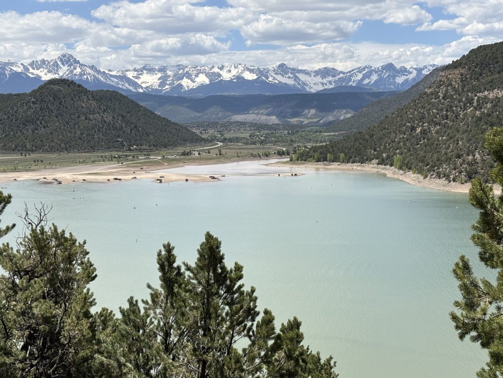
Enjoy the Four Seasons Without the Extremes
Fall on the Grand Mesa
One of the biggest draws for people looking to move to Colorado, and specifically to Grand Junction is the opportunity to still experience all four seasons. Grand Junction delivers exactly that, but without the harsh extremes you’ll find elsewhere.
- Spring means blooming flowers and perfect hiking weather…in March.
- Summer brings river floats, vineyard tours, and long warm evenings outside (hello, Palisade peaches!).
- Fall is full of golden canyon colors and crisp air for biking, hiking, and harvest season.
- Winter sprinkles just enough snow to remind you it’s winter and make things pretty, but not enough to keep you trapped indoors.
You get the beauty of four seasons without the hassles.
How Moving to the Grand Valley Gave Us More Time Outdoors
We gave our move to Colorado a lot of thought. We researched, rented an Airbnb for 3 weeks in Fruita, we took road trips to explore towns and communities across Colorado and Arizona. Ultimately, Grand Junction won out. Why? Because here we can go outside and enjoy nature 12 months a year. Events rarely get canceled due to weather, daily life doesn’t get interrupted, and we can live the lifestyle we always dreamed of. We literally gained months of our life back each year to enjoy the outdoors!
Adventure Starts Right Outside Your Door
For many, the decision to move to Grand Junction is all about the outdoors. In Grand Junction, outdoor adventure starts right outside your door. Within minutes or a quick drive, you can:
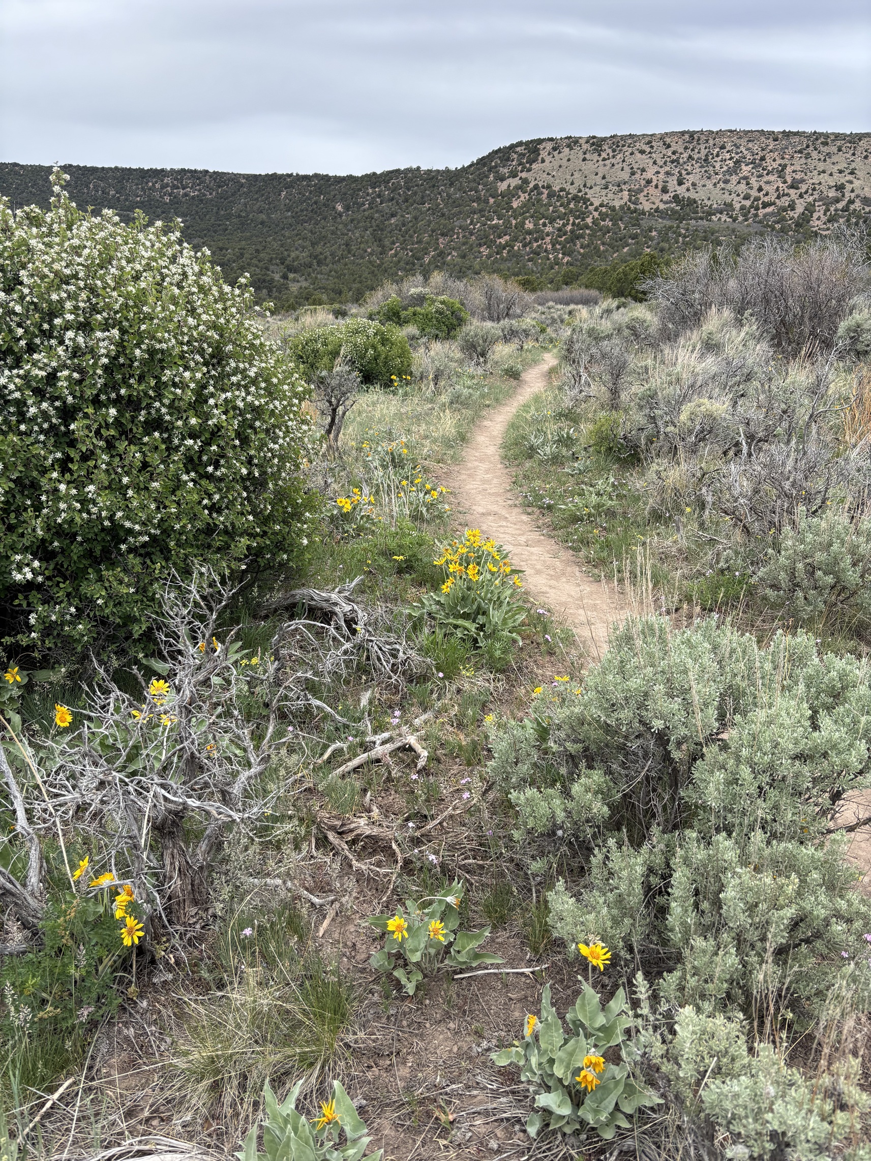
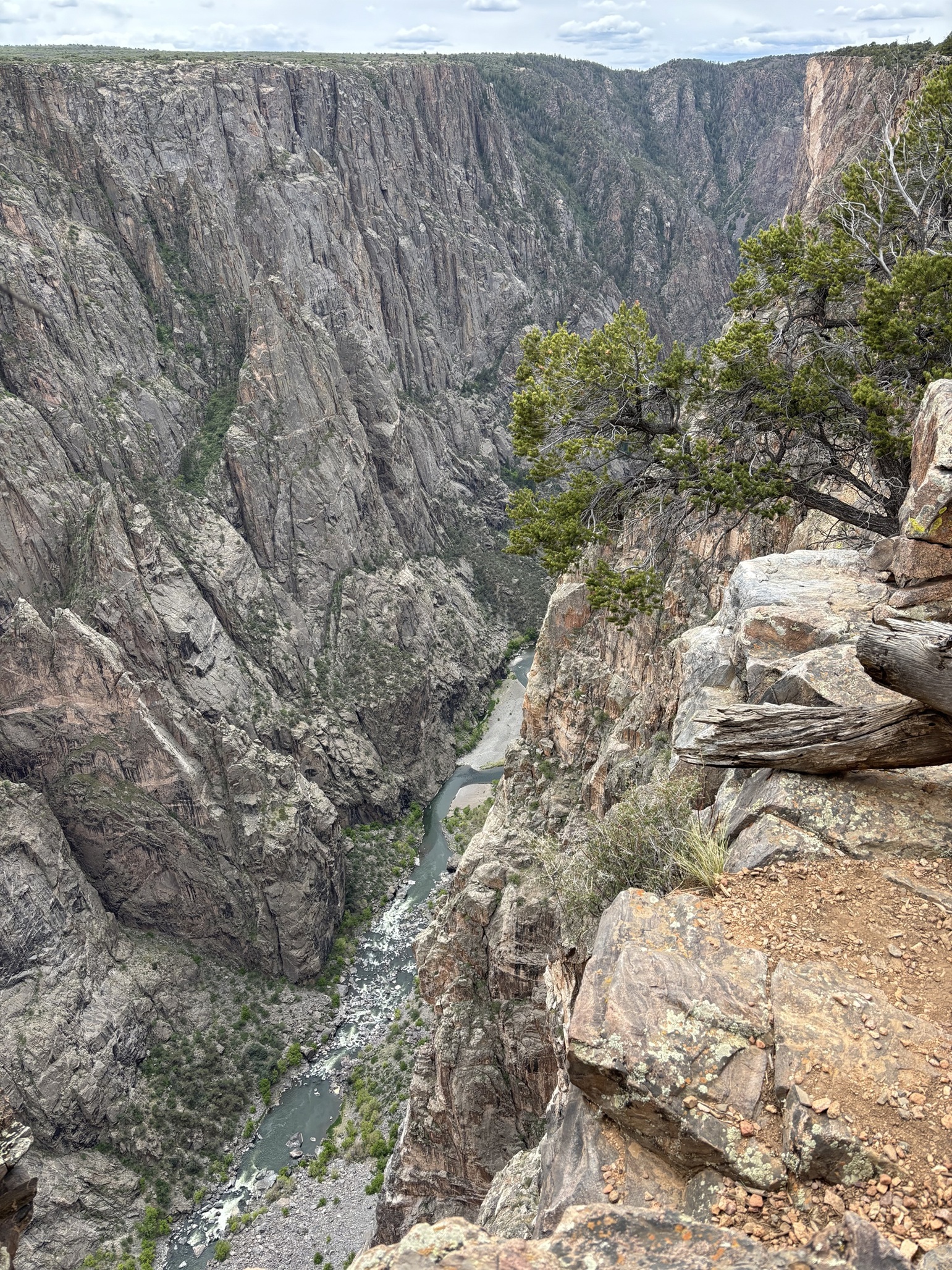
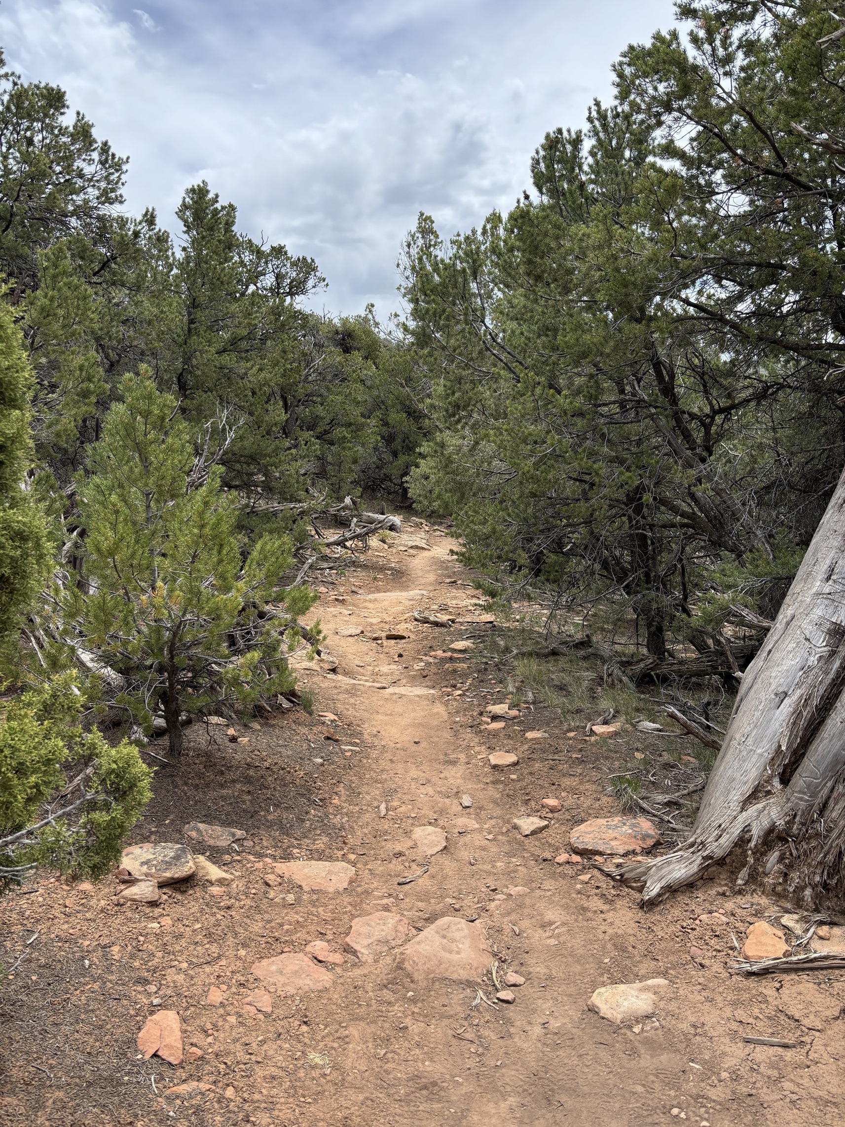
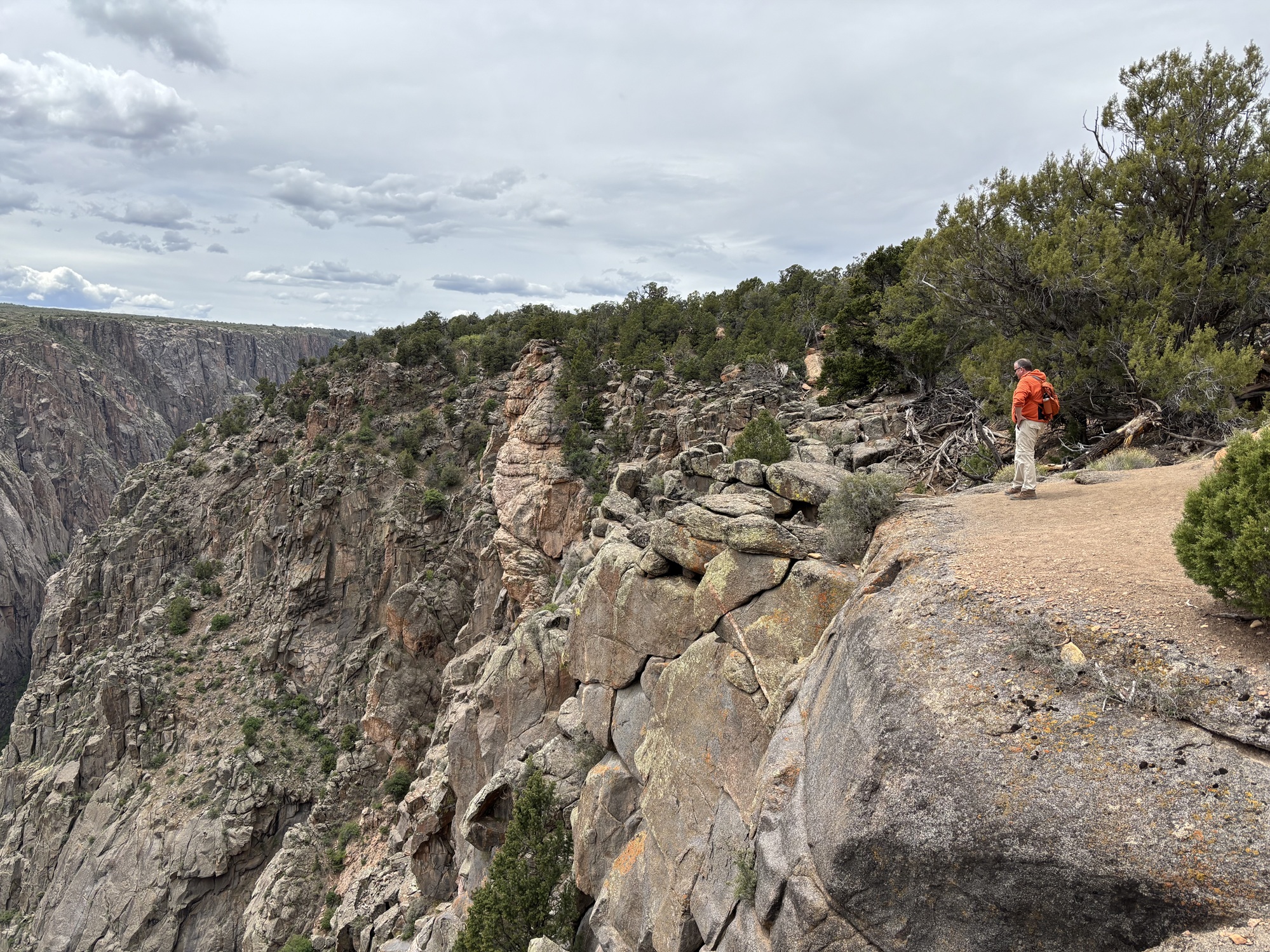
- Hike the red rock canyons of Colorado National Monument
- Mountain bike world-famous singletrack at the Lunch Loops
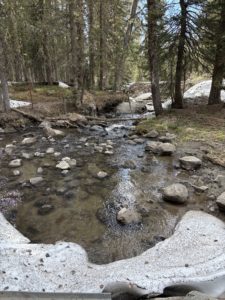
- Explore alpine lakes and forests on the Grand Mesa
- Float or fish the Colorado River
When you move to Grand Junction, you get the Colorado lifestyle people dream of, without the hassle of overcrowding, traffic, or waiting months for good weather.
A Lifestyle Worth Transitioning For
Weather and outdoor access are big reasons people choose Grand Junction when they move to Colorado, but lifestyle is what makes them stay.
Our local economy is vibrant and diverse, supported by healthcare, education, Agri-tourism, energy, and outdoor recreation. Downtown Grand Junction is lively with restaurants, shops, and art galleries. Colorado Mesa University (tips for parents of students) adds youthful energy, while the Grand Valley’s vineyards and orchards bring charm you won’t find elsewhere in the state.
It’s a growing community that still feels approachable, welcoming, and affordable compared to the Front Range. When you move to Grand Junction, you don’t just relocate to Colorado, you finally understand what it’s like to live your vacation.
Ready to Move to Colorado? Let Me Help You Call Grand Junction Home
I specialize in helping people relocate to Grand Junction and the Grand Valley. Whether you want a custom tour, neighborhood insights, or local connections, let me be your guide through every step of your move to Colorado. Read my Grand Junction Relocation Guide post or jump right to the Get Started page to learn more.
Live Your Vacation in Grand Junction!
Follow us on Facebook: https://www.facebook.com/LiveYourVacationinGrandJunction
 Text/Call 612-306-9558 with your questions.
Paul Aspelin, REALTOR®
GRI, SRES®, CNE
Learn more about Paul Aspelin
Serving Grand Junction, Fruita, Palisade and all of Mesa County Communities.
Licensed in Colorado.
© 2025 Paul Aspelin, REALTOR® MovetoGrandJunction.com.
Copyright protected. All Rights Reserved.
 Grand Junction isn’t simply another stop on the map, it’s a destination. Nestled between the Colorado National Monument, the Book Cliffs, and the Grand Mesa, it’s a place where stunning landscapes, thriving communities, and opportunity come together. A place where many people who relocate here finally understand what it’s like to “
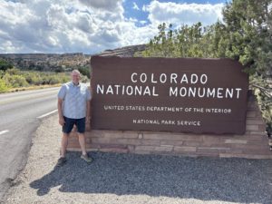 I will pick you up at your hotel and coordinate certain stops to your interests. We will tour Grand Junction, Fruita and Palisade showing all each city has to offer. From the storybook downtown of
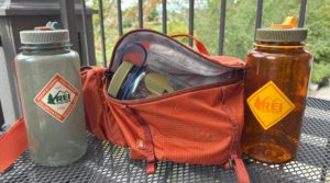 We originally bought a 32-ounce Nalgene bottle to carry extra water. Nalgene bottles are made of hard plastic, and they are not insulated. Michelle got a small waist pack to be able to carry this size bottle, and it fits in there perfectly. Her YETI® water bottle is too big. Sometimes you don’t want something in your hand when you are hiking so you can use your hands to stabilize yourself when you are climbing. Her pack is called the
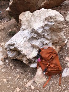
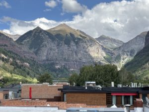
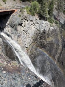
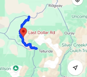 What an amazing day trip to Telluride! What started out as just a Last Dollar Road Day Trip also included discovering where Last Dollar Ranch was, the house in the John Wayne movie True Grit, Ralph Lauren’s Double RL Ranch, Last Dollar Pass, Tom Cruise’s old neighborhood, the Telluride one runway regional airport and drinks on the roof of the Last Dollar Saloon. Oh yes, and an indescribable experience of a Mushroom Parade down the main street in Telluride! So unexpected, it left us speechless.
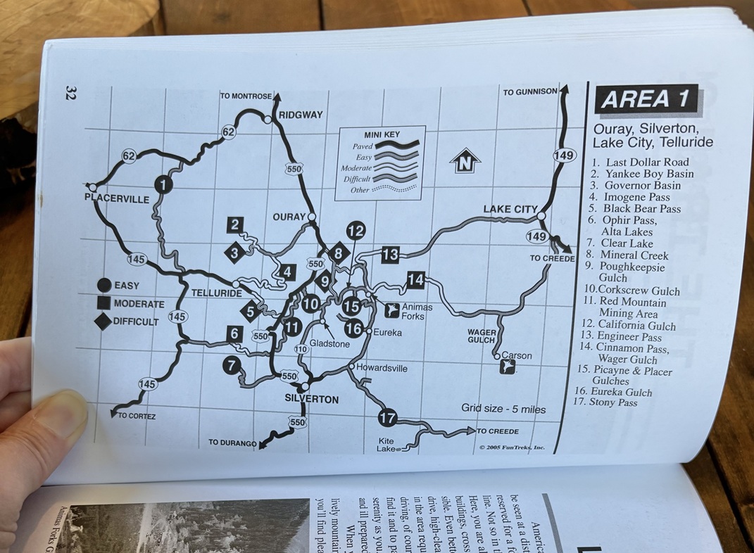
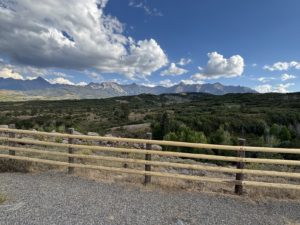
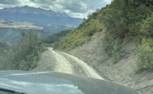
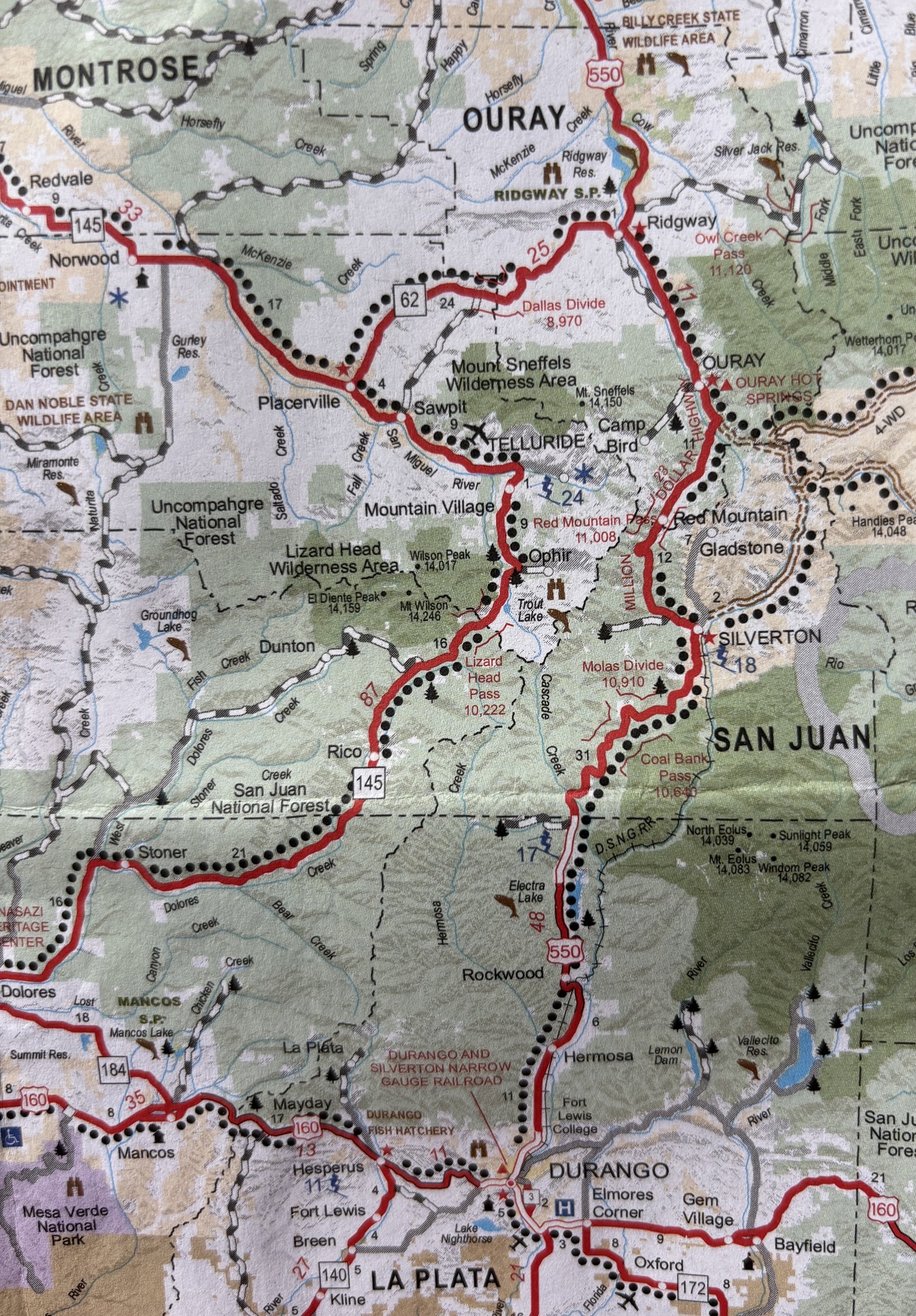
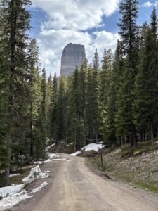
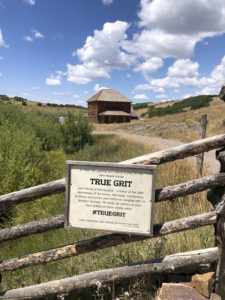 After the scenic overlook near Ridgway, we took a left onto CR-58P. There’s a sign for Last Dollar Road. The road is closed from January to May due to snow. This is where our Last Dollar Road day trip officially begins. The unpaved county road was wide and well maintained. Our first photo op was at Mattie Ross’ Ranch from the True Grit movie with John Wayne. True Grit was filmed in 1969 and begins and ends at the family ranch of young Mattie Ross (Kim Darby), which was filmed at a historic home on Last Dollar Road above Ridgway. In the final scene, John Wayne jumps his horse over a fence and rides off into the distance. The ranch house has been restored and remains private property. The scenery around it hasn’t changed much and is as gorgeous as it was then.
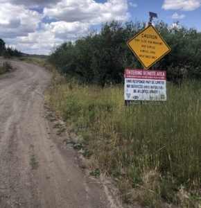 Driving the Last Dollar Road: Narrow, Steep, and Stunning
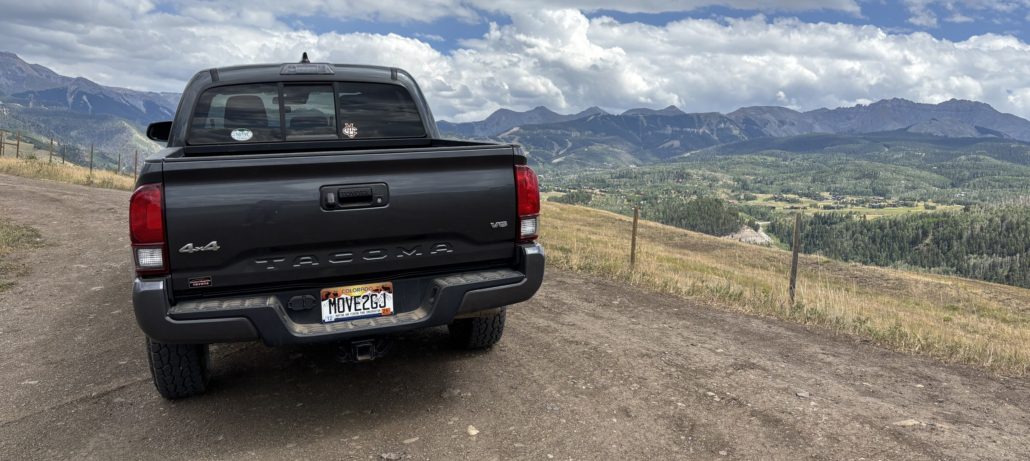
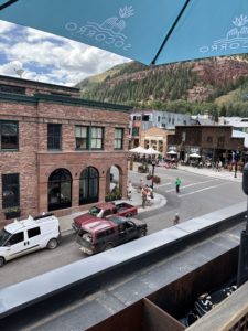
 A Thrilling Descent into Telluride
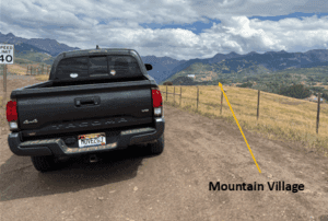 We continued our descent and popped out right at the
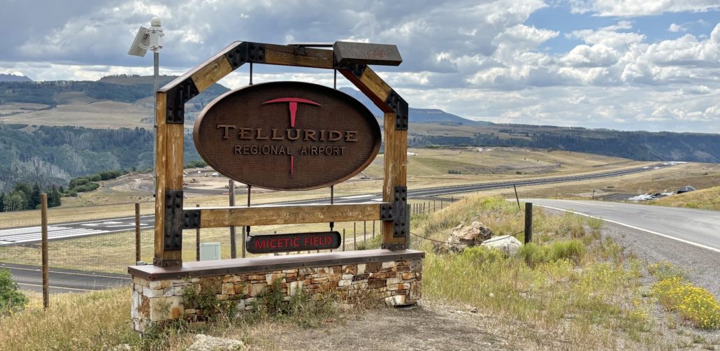
 The Mushroom Festival was unexpected and eye-opening. People were dressed up as mushrooms, wearing mushroom hats and other unique costumes. It’s a weekend festival described on their website as “A weekend of mushroom love, community connection and fungi everything. You can expect expert hosted forays to ID mushrooms in the great San Juan Wilderness, talks from world-renowned mycologists, a foundation of the fest rooted off psychedelics and its current resurgence, large community gatherings, culinary delights, dozens of mushroom vendors and of course the world renown Telluride Mushroom Festival parade. Every year the festival attracts 1000’s of fungi fans from across the world.”
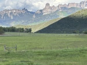
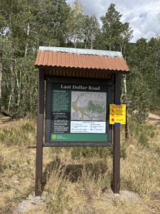 We sure loved our Last Dollar Road day trip. I think we will be talking about everything we experienced for years to come. We loved the gorgeous aspen forest with unobstructed views of Sneffels Mountain Range and Wilson Peak. The range of colors from brown, green, and red against the bright blue sky was so beautiful. I forgot to mention that we noticed some forest service road camp sites on the Telluride side of the pass. There were no bathrooms, water or other services along the trail. It’s as rustic as it gets. We loved seeing the large ranches on the Ridgway side and the views from the Last Dollar Pass at an elevation of 10,663 feet. If we had family or friends in town, we might drive to Telluride on the highway and just go up to the Last Dollar Pass from Telluride and back down again. That would take less time and still offer spectacular views. Until next time!

 We have a Colorado State Park Pass. We got our pass when we renewed our license tabs for our Toyota Tacoma. It’s less expensive to get your state park pass with your car tabs.
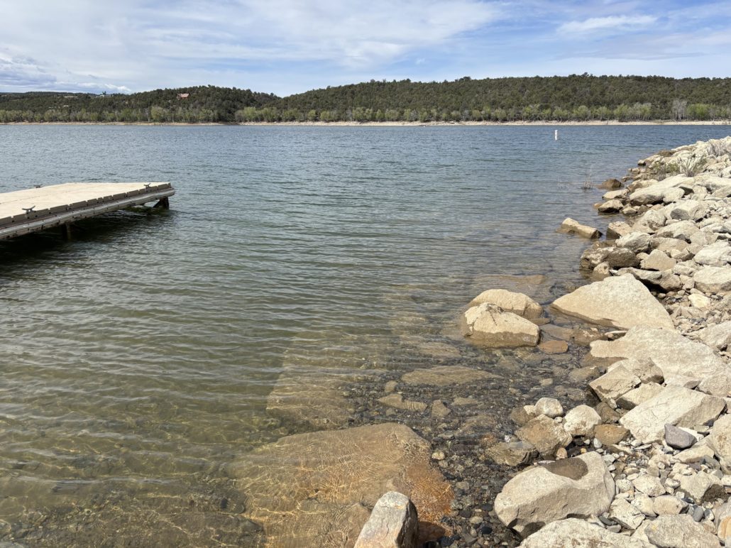
 If you own a business or can work from home, consider checking out GJEP, the
 Follow me on Facebook:
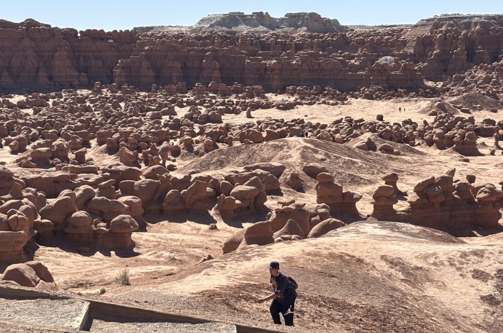
 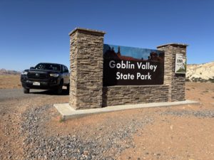 The park is small, and it gets busy. They don’t offer official timed entry management, so you can’t reserve an entrance time in advance. We arrived on a Saturday at about 9:30am and waited in line behind 2-3 cars to get in. We went right to the Valley of the Goblins parking lot and there were about 5 spots left. The park entrance waiting line started to build by 10am and cars were told to wait. They would be let in after current visitors left. The line was long. We ran into a couple on a hike later. They waited in line for an hour before giving up and choosing a hike outside of the state park and come back later in the day.