Day Trip to Arches National Park in Moab, Utah
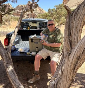
Did you know that there is a back door into Arches National Park? If you take this route into Arches, you can get quick access to a wonderful hike to Tower Arch and avoid the crowds! Some call it a secret back door entrance into Arches National Park, but it’s not really a secret if you just look at a map. It’s just a different way to enter the park. We’ve been to Arches several times since we moved to Grand Junction and were very excited to take this new route in our Toyota Tacoma. It was an amazing adventure!
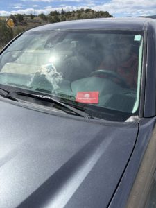
If you do not have your National Park Pass already, then you need to enter through the main gate and pay the park fee. If you already have your National Park Pass, then you can use the back door into Arches National Park. There is a gate, but no gate keeper. For 2026, they have removed the timed-entry reservation requirements for peak season. Be sure to display your pass in your windshield in case a ranger comes to the parking lot. You should check the weather too, more below.
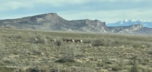
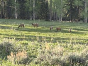
Antelope along the 4×4 road into Arches National Park
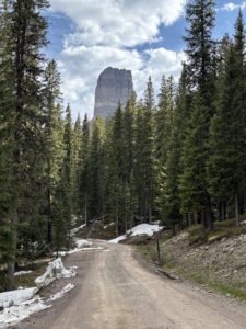
The “back door” entrance into Arches National Park is an unpaved, high-clearance road route primarily used for off-road recreation. A standard park map does not detail this route for navigation so download Google maps before you go. Yes, I said download the map ahead of time because you probably will not have cell service for an active Google Map. A high-clearance vehicle, preferably with four-wheel drive (4×4), is strongly recommended. This fun route includes soft sand, rock ledges, and steep sections that are impassable for most standard passenger cars. Really, don’t drive your car on this road. It is not a typical “gravel road.”
Tip: During the busy times of year, we’ve waited in line for up to 45 minutes just to enter the park from the main entrance. Entering through the back door (weather permitting) will give you more time to enjoy the park!
Check the Weather First
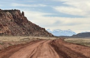
4×4 back road into Arches National Park
I recommend you check to see if it has rained or snowed in the days leading up to the day you want to try this route. Because of the deep sand and clay, the road can have some severe ruts and if it’s wet, I imagine it will be very muddy and slippery and you can easily get stuck. We could see the deep ruts when we drove it. They do pass through with a road grader but still, if it’s wet, that changes things. Water runs down from Klondike Bluffs. I wouldn’t go this way if it’s wet, way too much sticky mud.
Directions for the back door into Arches National Park
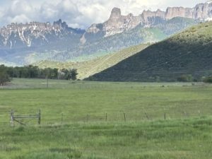
If you are coming from Moab, take Hwy 191 North, go right onto Willow Springs Road (BLM Road 378) approximately 13 miles north of Moab. The entrance to Utahraptor State Park is also along this road. Follow Google’s instructions to the Tower Arch Trailhead parking lot. This is NOT the way we took as we were coming from the north via I-70. We saw a lot more back-country on our route and I highly recommend it. At one point we came across twenty antelope resting next to the side of the road. Here’s the route we took.
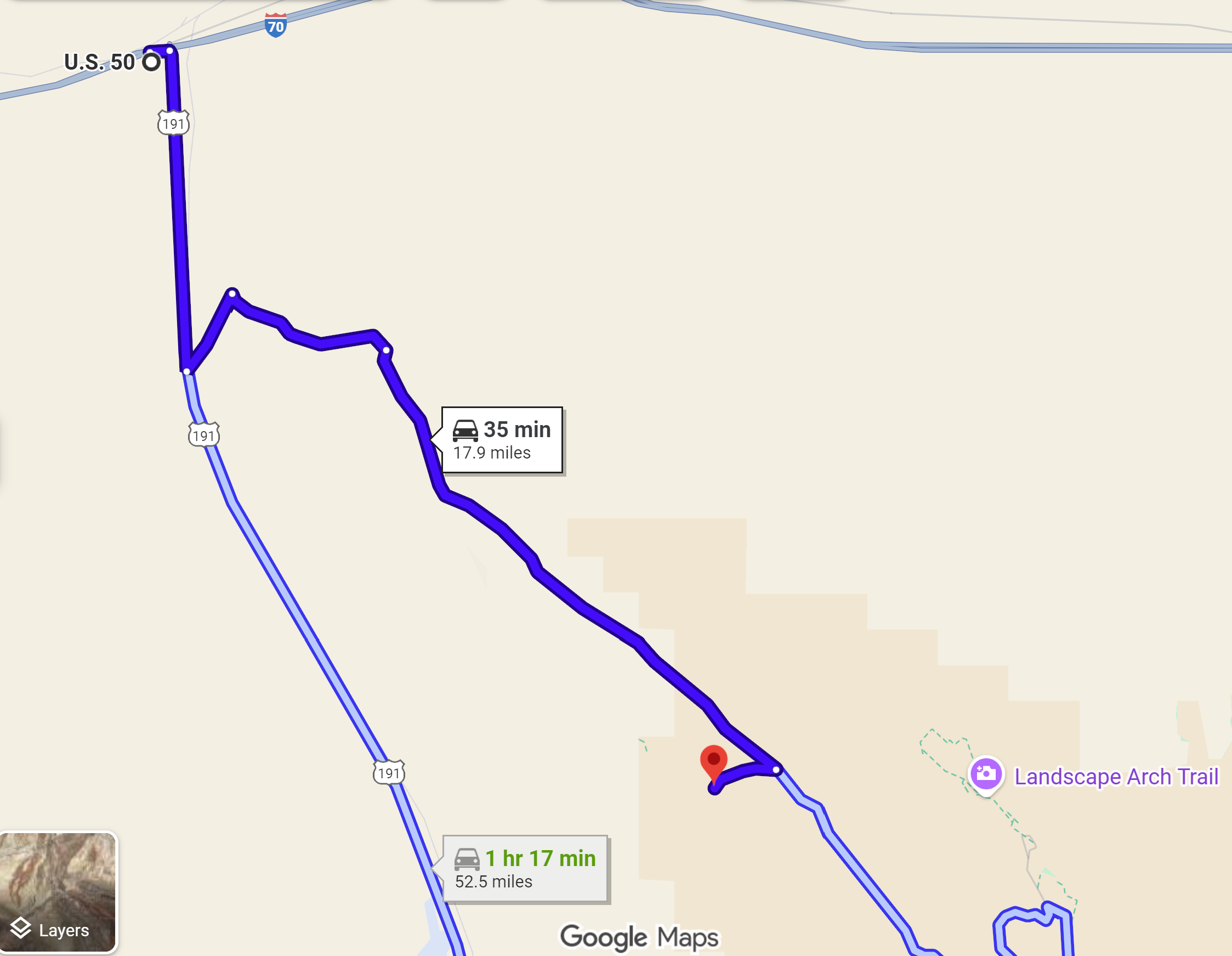
From Interstate 70, take the Moab exit onto Hwy 191 south, but only drive 4.5 miles. Turn left onto BLM 144 (Valley City Road). After a short distance, turn right onto BLM 145 (Salt Valley Road). This is where we saw the huge herd of Antelope basking in the sunshine.
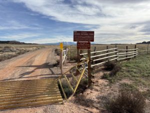
Back Entrance Gate to Arches
Continue along BLM 145 admiring the Klondike Bluffs area. It’s beautiful. When you come to a “T” in the road, go right to stay on BLM 145. From here, drive about 9 miles. The name changes to Arches Salt Wash before you reach the entrance gate. The gate was open because we chose to enter Arches from the back door when the park was open. If the park is closed, this gate is probably closed.
Past the gate, you are almost there. Turn right at the sign for the Tower Arch trailhead. There’s a parking area with a nice pit toilet. Prepare for your hike and enjoy!
Leaving Tower Arch
When you leave, you can turn right onto Arches Salt Wash Road, and it will lead you to the main road in Arches National Park. Turn right onto Arches Scenic Dr. Then drive 16 miles through the park to the Arches Visitor Center and the park exit. Explore the many arches, scenic pull-offs, and hikes along the way!
Tip: Coming through the back door allows you to drive through Arches National Park, once. Coming from the main entrance you drive through the park, then you need to back-track at the end of your visit. Between saving time to get in and not having to back-track, you easily save 90 minutes of car time.
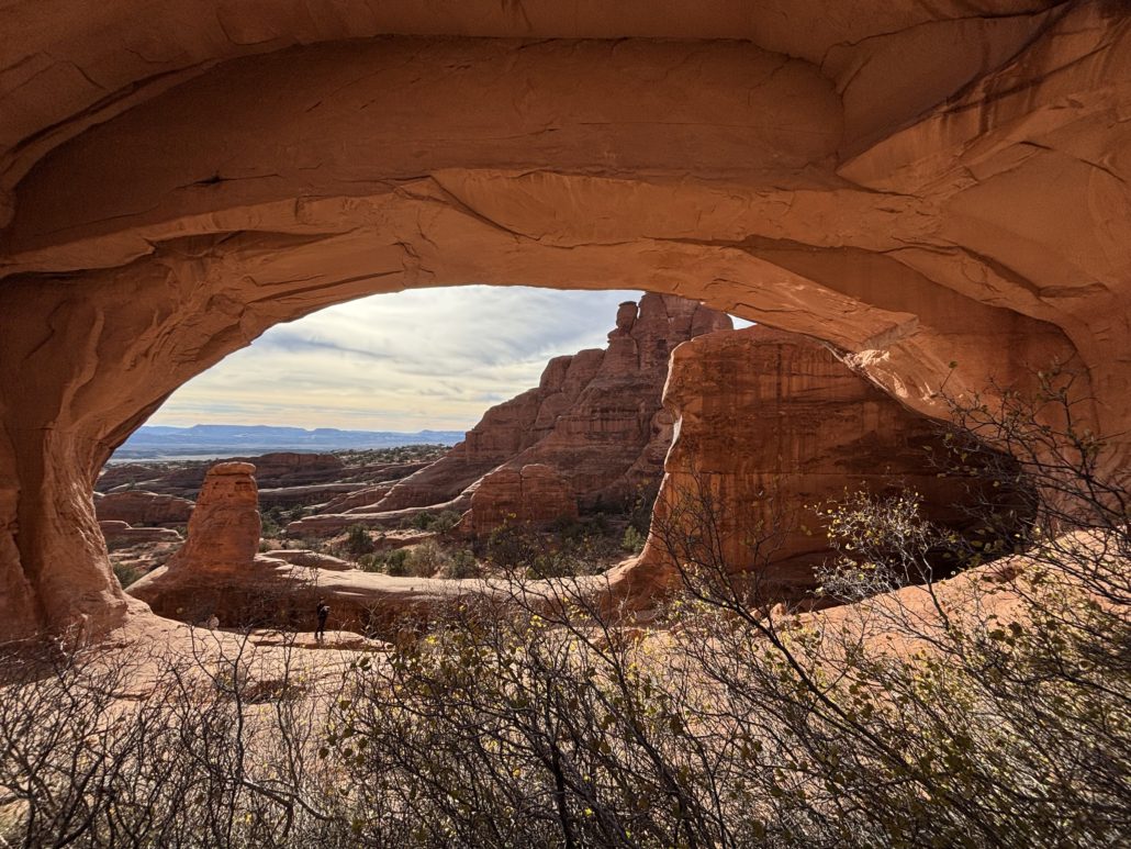
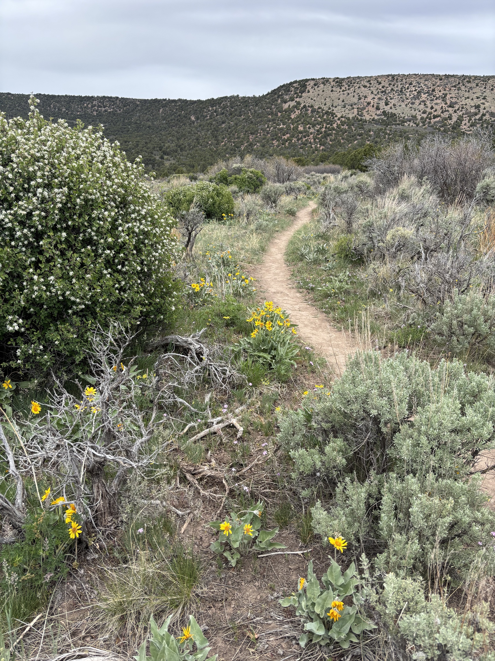
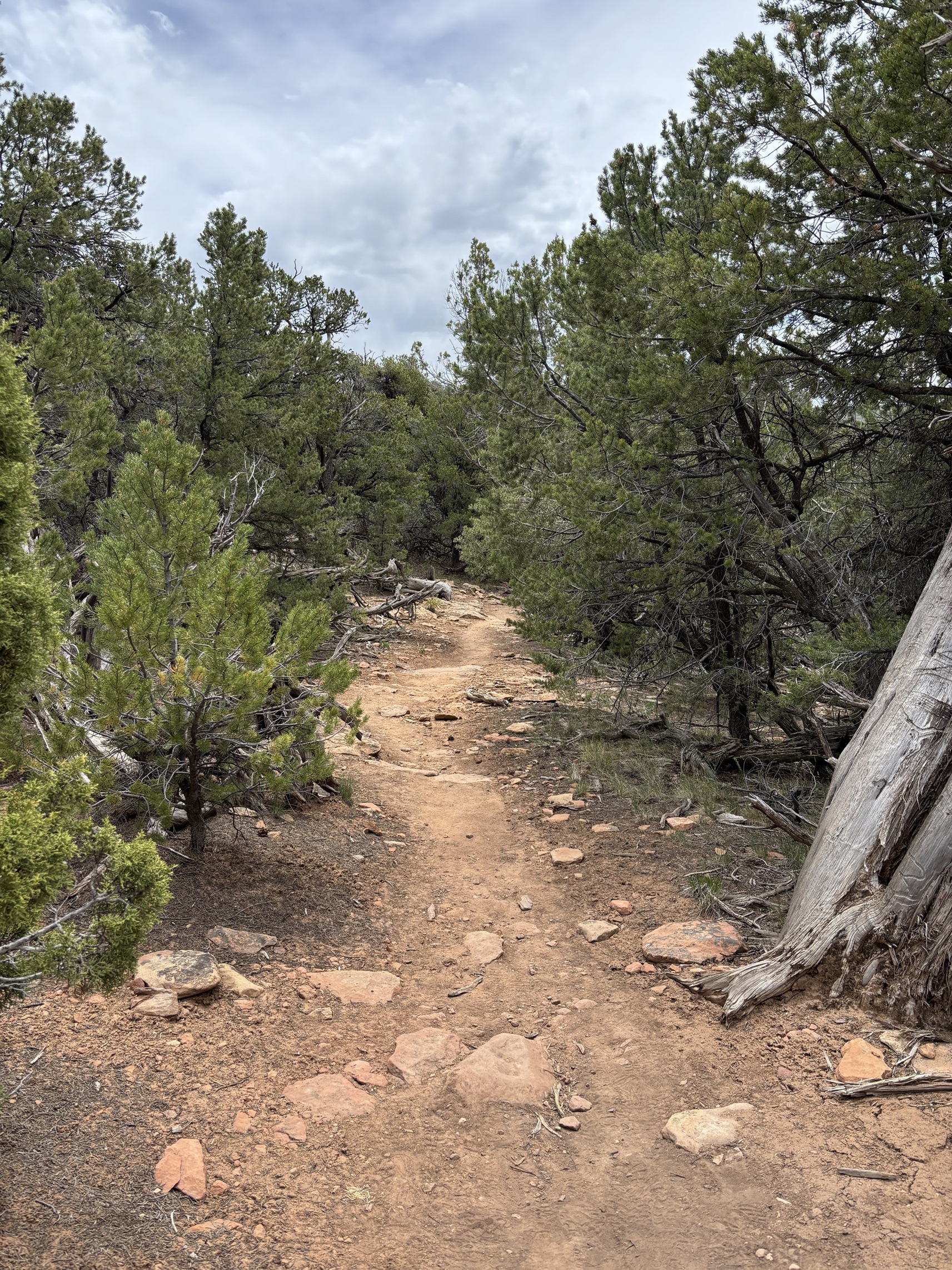
Tower Arch Trail
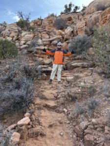
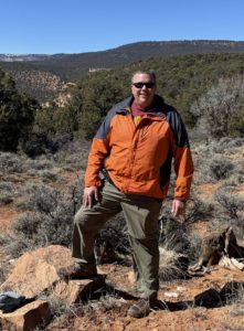
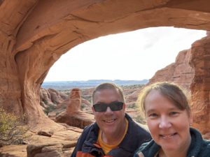
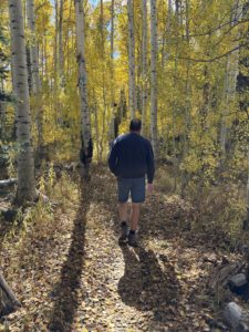
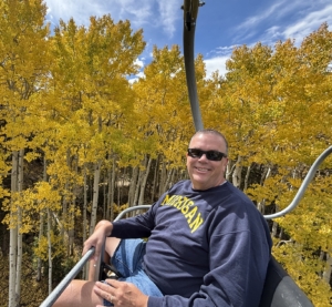
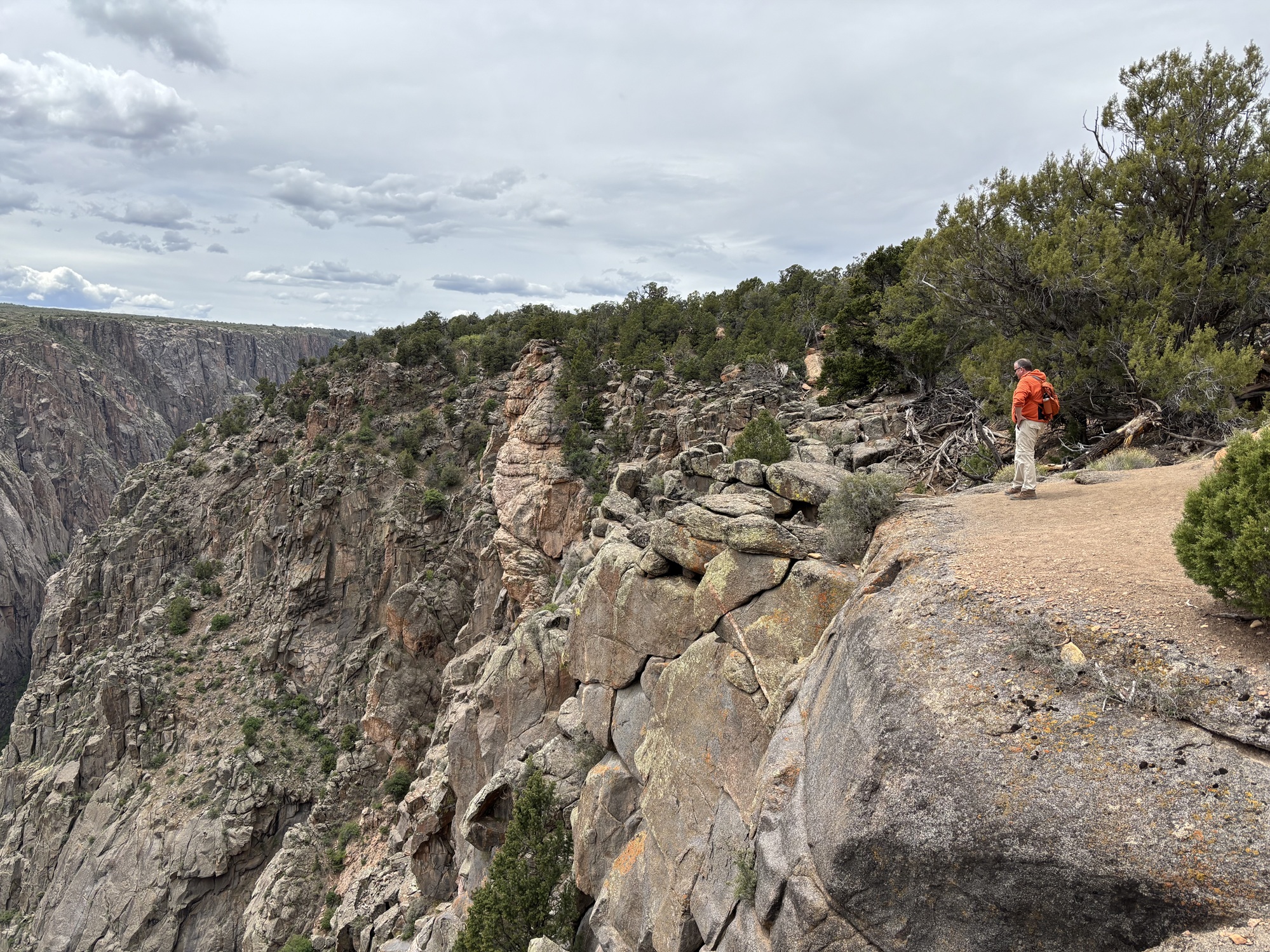
Paul at the rock scramble part of the Tower Arch hike
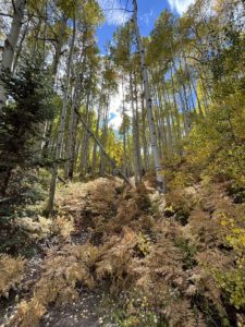
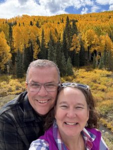
This hike was AMAZING! Challenging, beautiful, and very diverse. One of our favorite hikes so far. The All Trails app rates it as a “moderate” trail and I would agree. It is 2.5 miles out and back with an elevation gain of 626 feet because it’s a lot of up and down along the trail. It’s quite a large, secluded arch hidden behind the Klondike Bluffs that is ninety-two feet wide! And since it’s off the main park road, it doesn’t get nearly the same number of visitors. We only saw a handful of people when we hiked it in November with our daughter and son-in law.
Tip: To prepare for this hike, I would bring plenty of water. And I would pack it in a backpack, so your hands are free. You don’t need trekking poles but if you do bring them, make sure you can secure them to your body, so you have your hands-free. Wear layers, a hat, and remember your sunscreen no matter the time of year. Notice I said “hands-free” twice?
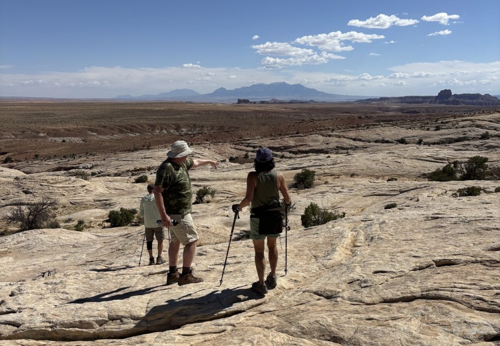
At the beginning of the trail there is a rock scramble that can look a bit daunting from the parking lot but go for it! We needed our hands to help balance us as we climbed the pile of boulders. It was tricky, and we were nervous, but we did it! The trail descends into a valley, a bit more up and down, then a final climb up a deep sand dune to the arch opening. It was impressive! The views along the way are spectacular. You can see so far at the top!
We climbed up under the arch itself and looked back through the Arch into Moab and beyond. We sat for a while to soak it all in and ate a snack.
Tip: Climbing into and under the arch itself allows for an incredible “framed” photo opportunity for a memorable picture you’ll want to share! Never climb on top of an arch.
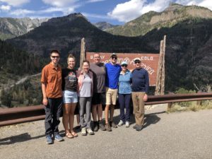
 The first ¼ mile is the hardest. I was intimidated when I saw “rock scramble” in the reviews. Yes, we needed our hands, but we did it as novice hikers. We had Emma and Josh with us (daughter and son-in-law), and they were very encouraging and patient while we did our first scramble.
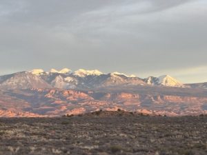
The setting sun reflecting on the La Sal mountains in Arches National Park as we departed the park
After our hike, we went into Moab for dinner at Pasta Jay’s and drove back to Grand Junction. You can do this adventure as a day trip from Grand Junction, CO. However, I would stay in Moab and do more exploration of the entire area, like seeing dinosaur tracks! And if you don’t want to enter Arches from the back door, you can always get to Tower Arch from the main park road. For that stretch you can probably make it in a standard car, but the last few miles are dirt road.
Read our related post about the Many Adventures Near Moab Utah for more ideas!
If you are considering a move to Grand Junction, Paul would love to give you a relocation tour of the Grand Junction, Fruita and Palisade area when you come for a visit. Learn more About Paul and how he’s been serving his clients since 2001.
We have a lot of posts about other day trips from Grand Junction so check them out! There is so much to do in just a short drive from GJ. We feel like we are on vacation every weekend.
Live Your Vacation in Grand Junction!
Follow us on Facebook and Instagram:
https://facebook.com/LiveYourVacationinGrandJunction
Guest Post by Michelle Aspelin
growyourmindshare.com
Connect with Michelle on LinkedIn
© 2026 Paul Aspelin, REALTOR® MovetoGrandJunction.com and Michelle Aspelin. Copyright protected. All rights reserved.
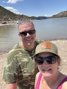


 We have a Colorado State Park Pass. We got our pass when we renewed our license tabs for our Toyota Tacoma. It’s less expensive to get your state park pass with your car tabs.
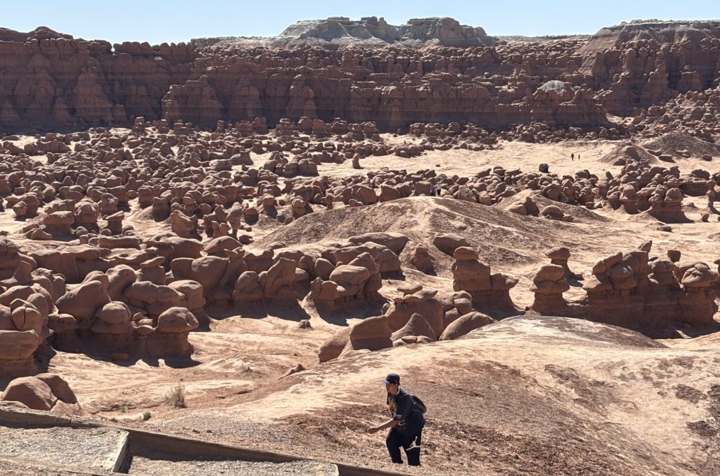
 The park is small, and it gets busy. They don’t offer official timed entry management, so you can’t reserve an entrance time in advance. We arrived on a Saturday at about 9:30am and waited in line behind 2-3 cars to get in. We went right to the Valley of the Goblins parking lot and there were about 5 spots left. The park entrance waiting line started to build by 10am and cars were told to wait. They would be let in after current visitors left. The line was long. We ran into a couple on a hike later. They waited in line for an hour before giving up and choosing a hike outside of the state park and come back later in the day.