Guest Post by Michelle Aspelin
Follow Live your Vacation in Grand Junction on Facebook and Instagram
Follow Move to Grand Junction on YouTube
This post may load slower than usual because it includes video and numerous images. Thanks for your patience.
Red Mountain Mining Area Trail – between Ouray and Silverton, CO
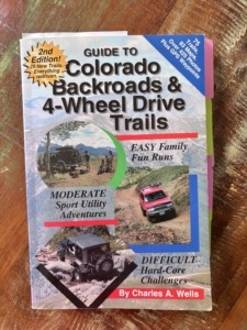
I have this book called Guide to Colorado Backroads & 4-Wheel Drive Trails (a FunTreks Guide Book on Amazon). I’ve probably mentioned it before. I use it to see which trails we might want to go on, and which ones are too difficult for our skill level and risk tolerance.
The Red Mountain Mining Area Trail is #11 in the version of the book I have, which it’s the most recent. We picked this trail because it’s rated as an EASY trail. The author described is as,
“A fun, meandering road covering a variety of terrain from graded gravel to narrow two-track. Suitable for all 4×4 SUVs with moderate ground clearance. Low-range gearing helpful on some of the steeper grades at higher elevations. Do not drive this route during wet periods.”
Well, after driving it, we fully understand what the description really means to novice 4×4 trail drivers like us. Or should I say, like Paul. I don’t drive on these roads; I’m the navigator, and now the spotter, to make sure we don’t drive off a cliff.
Narrow, yes!
Low-range gear helpful, yes!
Steep grades, yes!
Red Mountain Pass
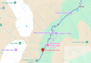
Red Mountain Pass is at 11,018’ elevation on the famous Million Dollar Highway between Ouray and Silverton, CO on Hwy 550. A stunningly beautiful area of the San Juan Mountains. You don’t need to go on 4-wheel drive only tails to enjoy this area, but we wanted to give it a try. We also explored the ghost town of Ironton, just off Hwy 550, more on that later.
Our original thought was to drive our Toyota Tacoma through Corkscrew Gulch and California Gulch, two trails in this same region, on the east side of Hwy 550. The views from those elevations look amazing! However, after watching YouTube videos of others driving it, we think we might feel safer driving those trails in a side-by-side vehicle like a Polaris RZR or similarly capable vehicle. We can easily rent one in Ouray or Silverton for the day.
Planning a Trip on a 4-Wheel Only Trail
For safety reasons, it’s a good idea to be off the mountains by 12-1pm because the afternoons in the summer can bring thunderstorms with dangerous lightning. You need to remember you are closer to the sky and sometimes above tree line where you stand out like a sore thumb. Lightning strikes the highest thing and that might be you. Our kids taught us this because they get off the mountains early when they climb 14-ers (mountains over 14,000’ elevation).
When we woke that morning, we checked the weather and storms were expected that day around 1-2pm, so we knew we had to be quick.
We packed lunch and peaches in our cooler, brought extra water, electrolyte tablets, and salty snacks. We dressed in layers, packed sunscreen, hats, and a light jacket. Wore our hiking boots. We knew we would be at about 10,000-12,000 ft for several hours.
See our post about How to Avoid Altitude Sickness.
I brought the book that described the trail and even noted how many miles it was from Ouray because it’s easy to miss these turn-offs because the side roads are not promoted in this area with extra signage.
The final preparation I did was to make sure I had downloaded the Google Map for this specific area. I know there will be no cell service, no internet connection.
When we got in the truck, I plugged my iPhone into the car with the specific route I knew we wanted to take and I never unplugged my phone from Apple Car Play and never let Paul turn off the truck when we made brief stops. There were several turns on the map I didn’t want to miss because I knew we were in a risky area and I didn’t want to make it more difficult. I have lost maps in the past and didn’t want to chance it this time, on this rough road.
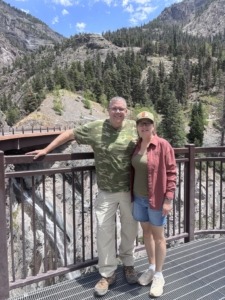
Michelle and Paul Aspelin at Bear Creek Waterfalls in Ouray CO
Switzerland of America Starting Point
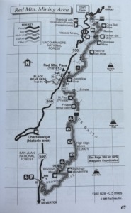
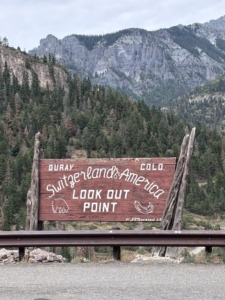
We pulled over at the Switzerland of America sign to reset the trip odometer. We drove exactly 8.3 miles and turned left onto CR-31, just after mile post 84. Once on 31, we reset the trip odometer again. The book is great about explaining what you will see at x miles in on the trail.
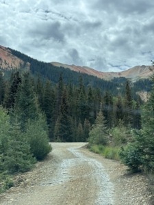
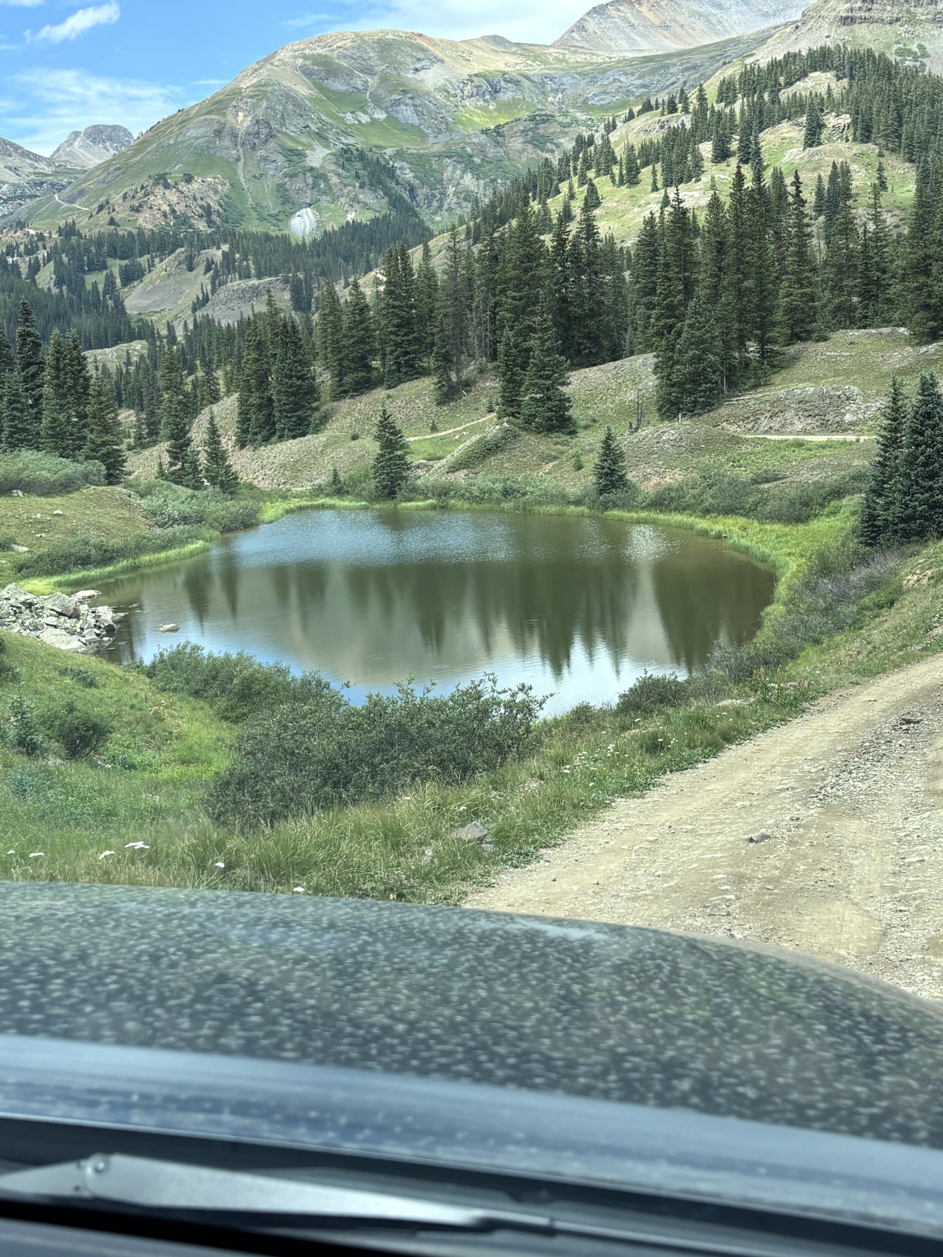
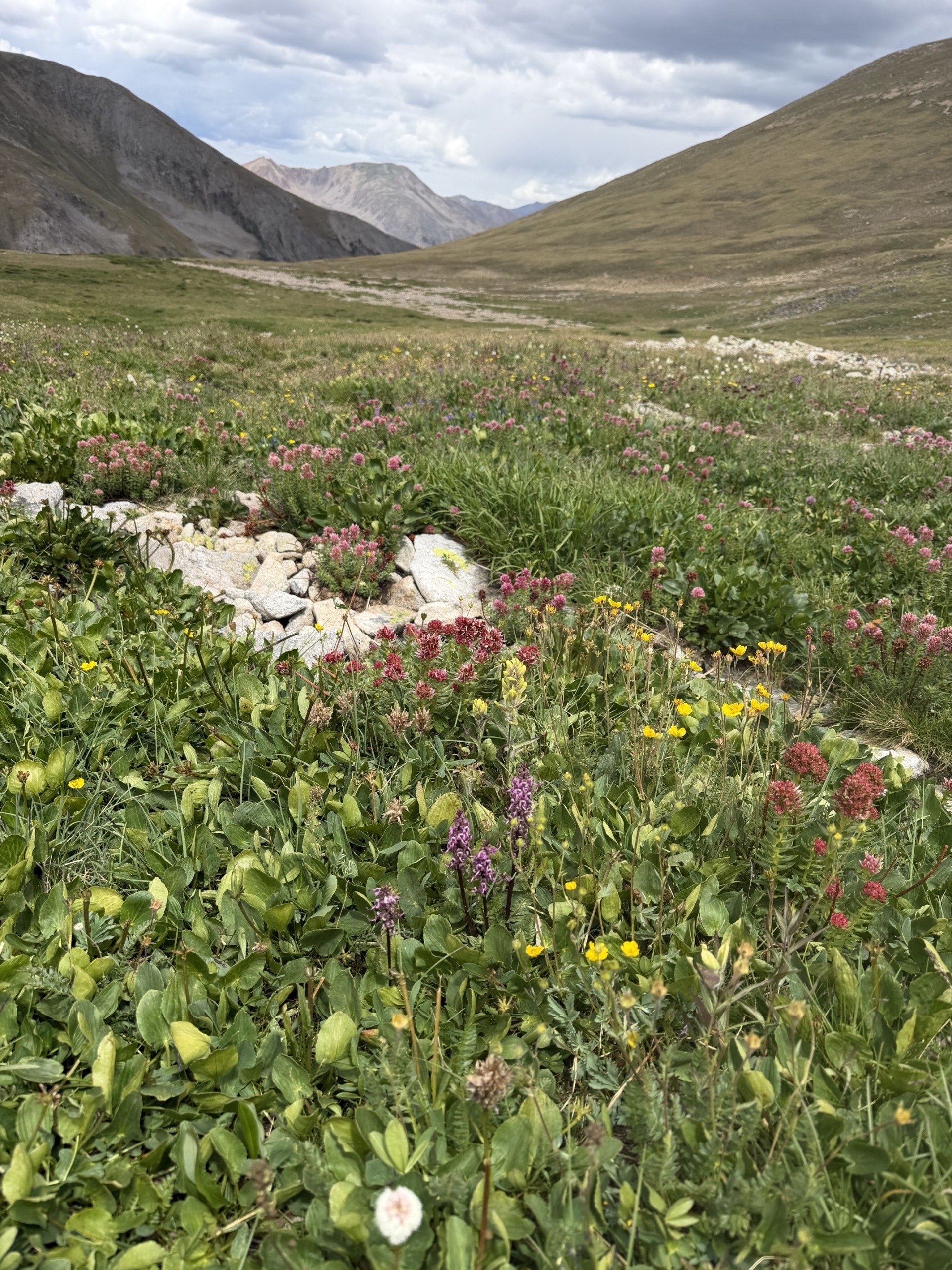
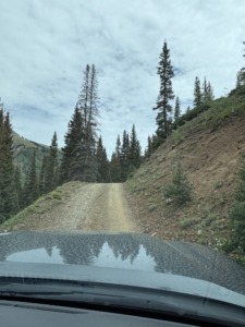
There are five abandoned mines along this north section of the trail, one more on the south section. What we realized is that these really aren’t “roads” they are trails the miners used to get their wagons and equipment into these regions. There are tight switchbacks, narrow spots, blind curves, thick woods, lots of potholes, some very deep, along with rocks and boulders on the trial, brush right up next to you, or a cliff with no shoulder. Yeah, a few meadows with wildflowers too, thankfully!
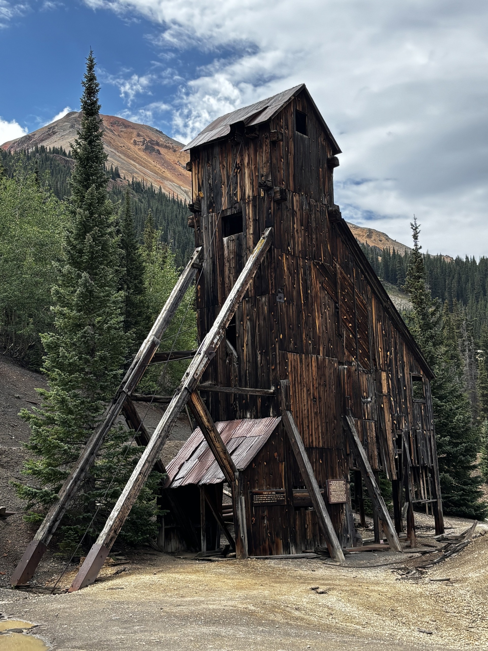
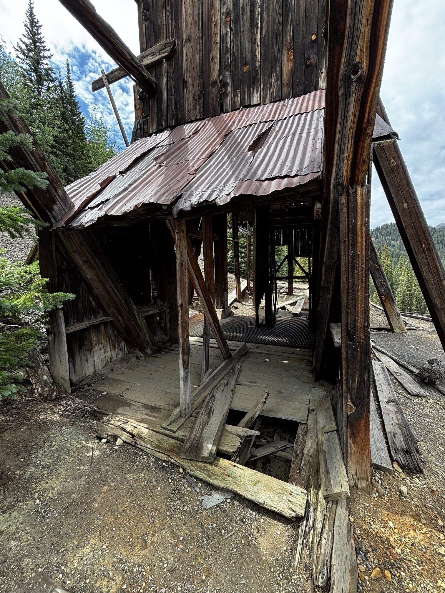
We crossed the steel bridge, then the tiny wooden bridge, climbed the hill, made the turn I didn’t want to miss, came out of the woods right at the base of the famous Yankee Girl Mine. It was amazing! You can see the mine shaft from Hwy 550. It was incredible to be standing right in front of it.
Yankee Girl Mine
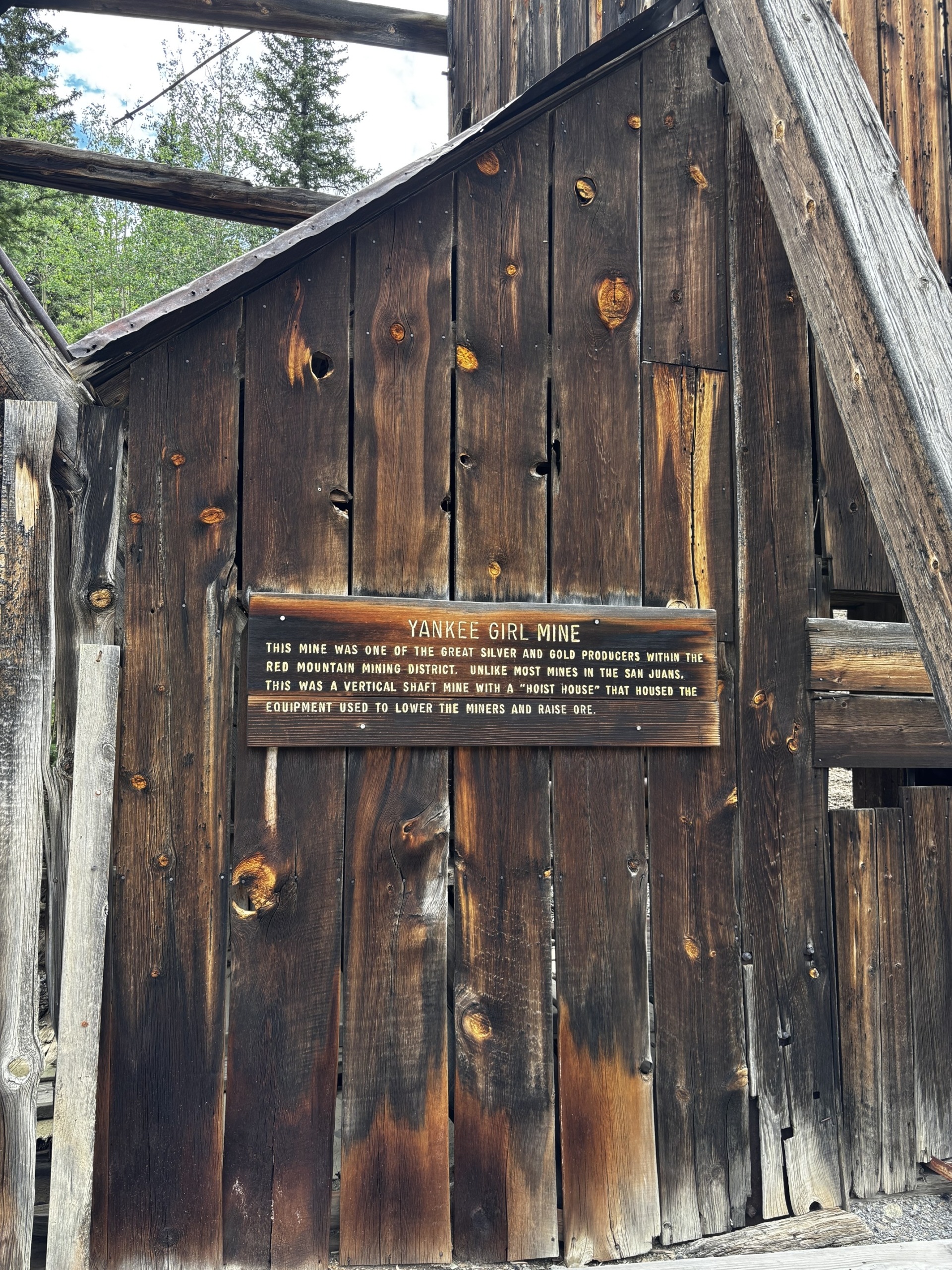
The sign in the front of the mine says the following…
“The Yankee Girl Mine was one of the great silver and gold producers within the Red Mountain Mining District. Unlike most mines in the San Juans, this was a vertical shaft mine with a “hoist house” that housed the equipment used to lower the miners and raise the ore.”
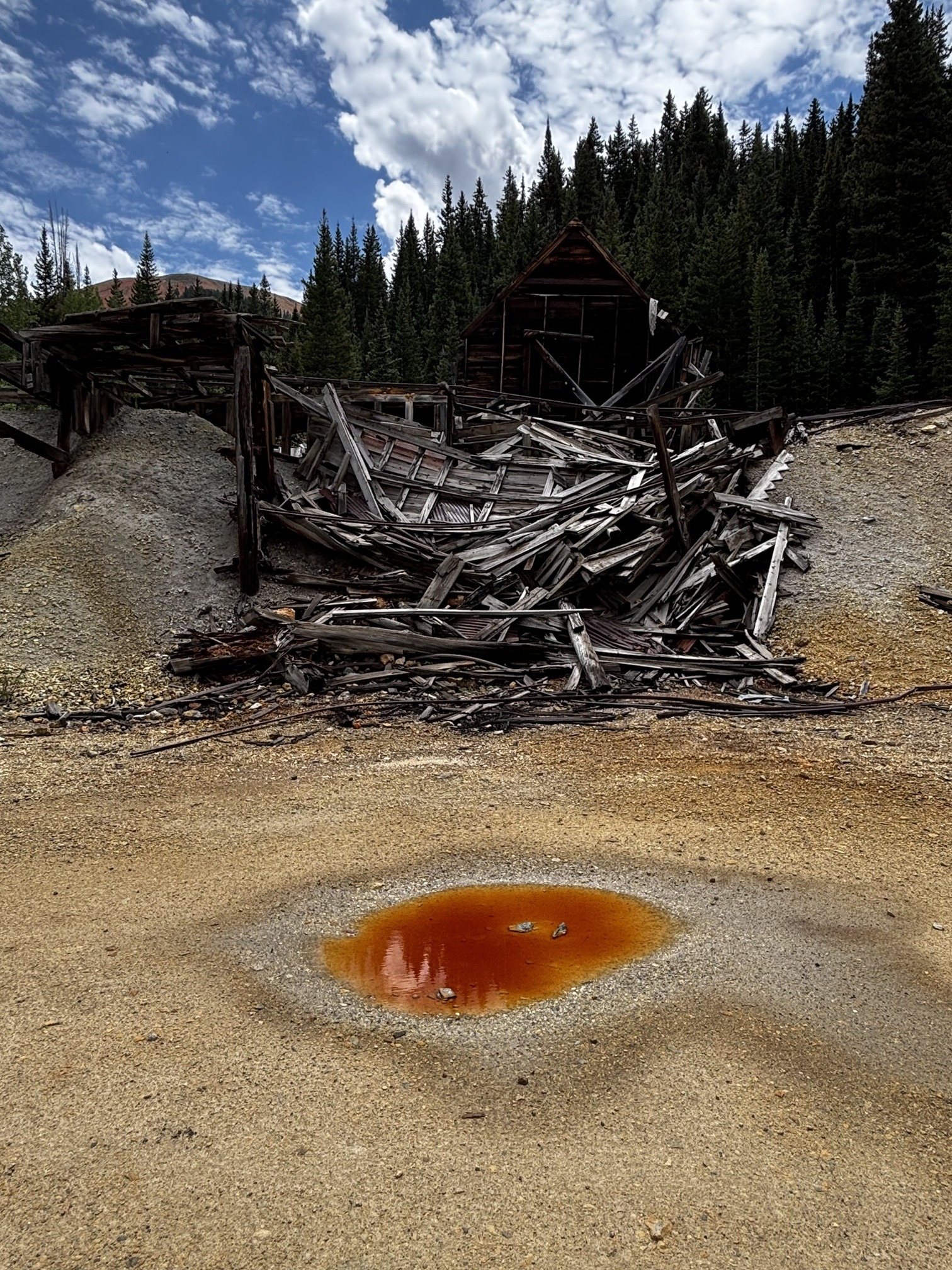
The area is surrounded by tailings, the part of the earth miners left behind, that’s yellow in color. The soil has so many minerals in it, you can see it in the puddles. Streams are often rust or golden color because of the high concentration of minerals in the water.
This mine was built in 1882 and is reported to go about 1,200 feet underground. There was a grate over the hole. Paul tossed a rock into it and never heard it hit anything. It became one of the richest and most profitable silver-producing vertical mines in U.S. history, yielding nearly $12 million in high-grade ore. The mine closed in 1898 after silver prices plummeted. It was cool to see it up-close.
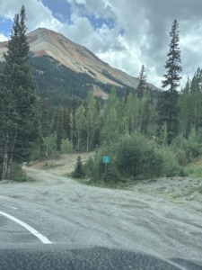
Mining Road 31 entrance from Hwy 550
Driving the Red Mountain Area Mining Trail
I will admit that I felt like I clenched my gut for most of the ride. Paul was more relaxed. When you are climbing at such a steep grade, all you see in front of you is the hood of the truck and the sky. You can’t really see the road or what’s coming up at all. Couple that with sharp turns next to a rock wall where you can’t see oncoming traffic. Keep in mind, we are on a one-lane, two-way road. I could finally breathe when it opened up and we had some meadow on each side or enough space to safely allow someone to pass us coming the other way. Granted we were only driving about 5-8 mph! It took us about an hour and a half to drive 3 miles!
I remembered what the author said… fun, meandering trail. I needed to remind myself he’s a 4-wheel road professional! I think I was hesitant from the start because the book said NOT to drive it if it’s wet. The clay is too slippery and makes it unsafe. There were puddles in the road when we started, and I was wondering if we were making a mistake.
Seeing the mines themselves helped. We got out and walked around. It was about 75 degrees at the end of July when we went. Some mines had no trespassing signs on them, so we looked from a distance. Getting out of the truck helped me feel better.
The road was rough at times. This was the first time we put the Taco in 4-low. We tried it one other time near Central City, CO when I thought going 8 mph down a gravel road was too fast, but it kept beeping because we weren’t doing it right. Before this trip Paul made sure he knew what to do and boy did we needed it!
We came to a Y in the road, and it appeared like you could go either right or left and it would come back together in about 20 yards, we went right. Mistake! Next time I might get out and look at the trail before we decide. Sometimes there’s a reason the trail goes around something.
Thankfully, we were in 4-low already from a recent climb. This spot wasn’t very steep but there were puddles about 3-5’ wide. Our back right tire fell into a deep puddle and we started to stop. The left front tire went up off the ground. I was afraid it was muddy and didn’t want to get stuck, so I yelled, “Go! Go! Go!”. Paul gave it some gas and we pulled out of it. Drove ahead another 20 yards or so and stopped. Looked at each other in amazement and shared our relief that we didn’t get stuck in the mud. Our first time really experiencing what it’s like to not have all 4 wheels on the ground.
Longfellow Mine
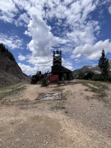
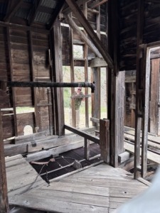
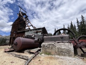
We enjoyed the last mine in this section quite a bit. The Longfellow Mine is a historic copper, lead, and zinc mine. Unlike the area’s earlier boom-era sites, the Longfellow saw its primary development begin in the late 1940s or early 1950s. It had a cool compressor engine near the mine building. It sits at 11, 201’.
We did have a bit of an issue trying to find the trail again after this mine. Twice we went in the wrong direction. After walking around, I found the path downward with the tight switchback. We remembered seeing it in the videos. Paul started the decent and I tried to guide him away from the tall boulders, so we didn’t bottom out. My first time as a spotter. I did this one other time before we finished and found our lunch spot. I got video. It never looks as scary when you watch the video as you were experiencing it in person for the first time.
Longfellow Mine
Lunch at 11,000 Feet
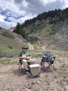
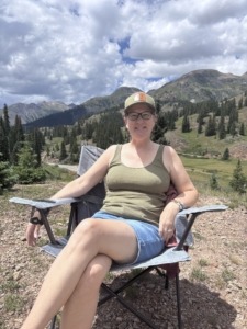
At the end of the north part of the trail we stopped along Hwy 550 overlooking the entrance to the notorious Black Bear Pass across the road. We pulled out our camp chairs and had lunch. I wasn’t sure if my stomach could take the south section, called U.S. Basin Road, but I really wanted to get up over 12,000’ and drive along the ridge. From the videos we watched ahead of time I could tell the trail should be easier than the north part we just completed.
In the end it wasn’t an emotional decision but a logical one that made us head back to Ouray. It was 12:30pm. That warning in the back of my mind “be off the mountain by noon”. Plus, we could already see dark storm clouds to the south. We just couldn’t tell which way they were moving. I felt like it was “now or never”. I had the courage to continue, and wanted to see the abundance of wildflowers, but we knew the right thing to do was go back. The first section was 3 miles long, this next section is 6 miles. Good thing we decided to skip it!
Wait until you hear about the mudslides and flash flood warnings we experienced!
Ironton Ghost Town
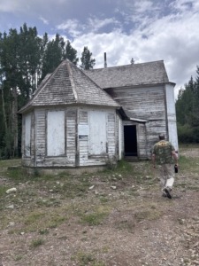
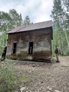
On our way back to Ouray, we stopped at the Ironton ghost town. It’s right off the highway but hard to see where to turn unless you are looking for it. I highly recommend it. There are several buildings to see and it’s along a creek where people see moose. The buildings are just a small part of the larger town. It’s amazing to see how people may have lived in these remote mountain areas. There was a campground nearby and you can camp along forest roads too, known as boondocking.
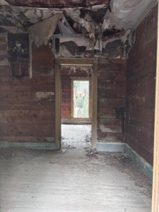
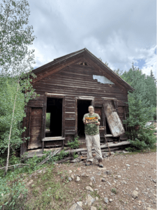
It was founded in 1883 as “Copper Glen” and later named Ironton. It grew to include hotels, general stores, dozens of saloons, and a post office that was open from 1883 to 1920. There’s a two-story home that’s in decent condition. We didn’t dare walk up the stairs to the second floor, but people do. Milton Larson lived as the town’s final local and “mayor” until his death in the mid-1960s, after which the site became a true ghost town. There’s a clip of him on a YouTube video that was cool to see.
Shopping and Dining in Ouray
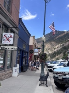
We rolled into town sometime around 2pm. We went to The Tavern on Main Street for a drink to help unwind from the adrenaline we experienced. After that we walked through some of the interesting shops and boutiques. We could tell rain was coming, so we chose to eat dinner at the Gold Belt Bar & Grill. We’ve eaten there before. We sat outside at first but were forced to move inside when it started to rain. It poured for at least a half hour while we ate. It was good to have the rain as we are in a drought. However, too much rain, too fast, created a problem.
Driving Through a Flash Flood Warning Area
The rain lifted a bit and we made it to the car. We were just outside town when it began to come down hard again. On the right of Hwy 550 between Ouray and Ridgway is the Gold Mountain area that experienced a wildfire. As of this writing, August 3, 2026, the Gold Mountain Fire is 39,507 acres and 72% contained according to the Watch Duty app. Wildfires leave burn scar areas full of downed trees. When it rains, those trees, mud, and rocks get swept downhill, and quickly. It’s called a debris flow.
As we were driving in the rain, Paul said, “Who’s calling me?” His phone was vibrating. It wasn’t a caller but the National Weather Service alerting us that there was a Flash Flood Warning in the area we were in. We have been in tornado watches before but didn’t fully understand the meaning of Flash Flood Warning until after we got home. We should have stopped, or really, turned around, but we didn’t know.
As we kept driving, we drove through two spots where we slowed down and put our hazard lights on. There was muddy water running down someone’s driveway on the right, spilling out onto the road. Deep red colored mud.
The third time, it was more like a landslide. We could see large rocks on the road, we could tell it was deeper water, trees clumped up along the side of the road. It was raining hard. Wipers at full speed. I just wanted to get past this burn scar area, the worst of it.
We made it. It rained for another half hour or so until it finally let up near Montrose. When we got home that night, we saw on social media that they closed Hwy 550 north of Ouray that evening. We drove through there minutes before they closed the road. We got lucky. That was on a Sunday night. Three days later, on July 29, there was more rain and landslides, a Flash Flood Emergency. That closed Hwy 550 from Ouray to Silverton for 2 days until the roads could be dug out. Some folks got stranded between the mudslides. A few days before our trip we knew of a section closer to Silverton that was hit by a landslide too. Mountains are unpredictable.
Tip: Don’t mess with mother nature
We understand now that a Flash Flood Warning means FLOODING IS IN PROGRESS. Unlike a Flood Watch that means it may or may not occur. Being from the midwest, we forget how impactful the steep elevation can be. How quickly weather can change. How dangerous it can be.
Ironton Ghost Town
National Weather Service Notifications
- Flash Flood Warning: Take Action! A Flash Flood Warning is issued when a flash flood is imminent or occurring. If you are in a flood prone area move immediately to high ground. A flash flood is a sudden violent flood that can take from minutes to hours to develop. It is even possible to experience a flash flood in areas not immediately receiving rain.
- Flood Warning: Take Action! A Flood Warning is issued when the hazardous weather event is imminent or already happening. A Flood Warning is issued when flooding is imminent or occurring.
- Flood Advisory: Be Aware: A Flood Advisory is issued when a specific weather event that is forecast to occur may become a nuisance. A Flood Advisory is issued when flooding is not expected to be bad enough to issue a warning. However, it may cause significant inconvenience, and if caution is not exercised, it could lead to situations that may threaten life and/or property.
- Flood Watch: Be Prepared: A Flood Watch is issued when conditions are favorable for a specific hazardous weather event to occur. A Flood Watch is issued when conditions are favorable for flooding. It does not mean flooding will occur, but it is possible.
We did remember to share with a friend where we were going and about when we would be done in case something happened when we were on the mountain. We knew we wouldn’t have service while on a good part of the trail. Didn’t realize at the time that flooding might be such a concern too.
We learned a lot on this trip
Are you feeling brave enough to experience something like this? Maybe you are skilled enough to drive the Moderate or Difficult trails in the book! Are you ready to “live your vacation” every day by living in an area with so many options?
There’s a lot to do within a few hours of Grand Junction, CO. Many more low-key things to do if driving old mining roads isn’t your thing. We have many more Day Trip posts you can read. Several in the San Juan Mountains near this Red Mountain Mining Area.
If you are thinking of moving to the Grand Junction area, Paul will give you a tour of the Grand Valley when you visit. Learn more about Paul and how he’s been serving clients since 2001.
Live Your Vacation in Grand Junction!
Guest Post by Michelle Aspelin
growyourmindshare.com
Connect with Michelle on LinkedIn
© 2026 Paul Aspelin, REALTOR® MovetoGrandJunction.com and Michelle Aspelin. Copyright protected. All Rights Reserved.